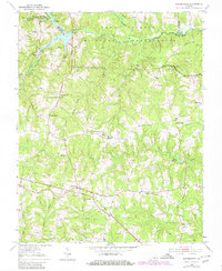
1951 Map of Danieltown
USGS Topo · Published 1980About this map
Fort Pickett Military Reservation dominates the northern landscape of this Brunswick County region, where the Nottoway River forms the natural boundary with Nottoway and Dinwiddie counties. This postwar survey illustrates a rural Virginia economy defined by small crossroads settlements and family-named landmarks. The Norfolk and Western railway cuts across the southern portion of the map, serving as a primary transit corridor for communities like Danieltown and Warrens Store.
Find a feature on this map
40 named features on this map. Tap any name to fly to it.
Don’t see what you’re looking for? This feature index may not catch every label — zoom into the map to look around manually.
Map Details
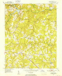
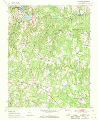
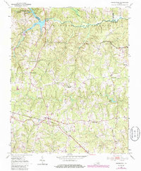
Editions of this 1951 Danieltown Map
4 editions found
Other maps of this area

1891 · Farmville
USGS Topo · 1:125,000

1893 · Farmville
USGS Topo · 1:125,000

1897 · Amelia
USGS Topo · 1:125,000

1918 · Lawrenceville
USGS Topo · 1:62,500

1920 · Lawrenceville
USGS Topo · 1:48,000

1921 · Lawrenceville
USGS Topo · 1:62,500

1942 · Lawrenceville
USGS Topo · 1:62,500

1943 · Richmond
USGS Topo · 1:250,000

1947 · Roanoke
USGS Topo · 1:250,000

1949 · Richmond
USGS Topo · 1:250,000