2021 Map of Dannebrog
USGS Topo · Published 2021About this map
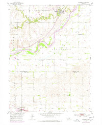
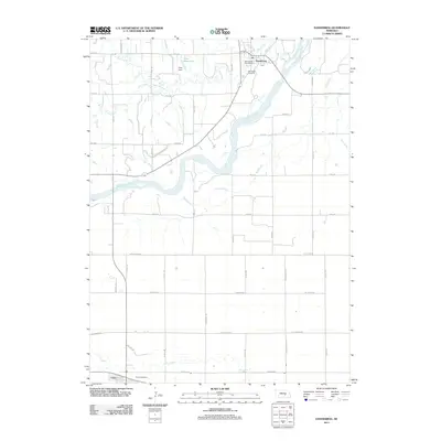
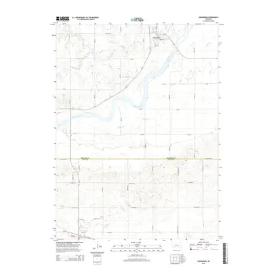
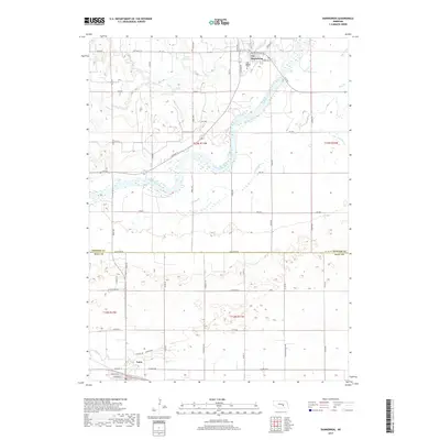
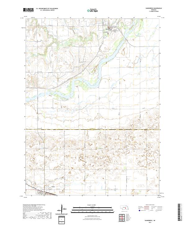
Dannebrog sits along the northern banks of the Middle Loup River, a community rooted in the agricultural landscape of Howard County. This recent survey illustrates a hybrid landscape of traditional watercourses and modern infrastructure, where the winding path of the river is flanked by the Big Slough and smaller tributaries like Oak Creek and Dry Creek. To the north, Fries Reservoir provides a regulated water source for the surrounding fields, while the Oak Ridge Cemetery stands as a local landmark on the outskirts of the settlement.
Find a feature on this map
49 named features on this map. Tap any name to fly to it.
Don’t see what you’re looking for? This feature index may not catch every label — zoom into the map to look around manually.
Map Details
Editions of this 2021 Dannebrog Map
This is the sole edition of this map. No revisions or reprints were ever made.
Historical Maps of Cairo Through Time
5 maps found