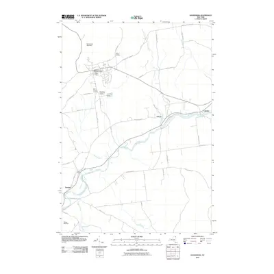
2010 Map of Dannemora
USGS Topo · Published 2010About this map
Dannemora occupies a prominent position on the southern slopes of Dannemora Mountain, defined by its complex history of institutional presence. Several dedicated burial grounds, including the State Hospital Cemetery, State Prison Cemetery, and State Prison and Hospital Cemetery, are clustered near the village center, illustrating the significant role of state facilities in the local community structure. To the south and east, the landscape transitions into the river valley where the Saranac River flows through Elsinore and Cadyville.
Find a feature on this map
46 named features on this map. Tap any name to fly to it.
Don’t see what you’re looking for? This feature index may not catch every label — zoom into the map to look around manually.
Map Details
Editions of this 2010 Dannemora Map
This is the sole edition of this map. No revisions or reprints were ever made.
Other maps of this area

1895 · Mooers
USGS Topo · 1:62,500

1899 · Mooers
USGS Topo · 1:62,500

1911 · Lyon Mountain
USGS Topo · 1:62,500

1913 · Dannemora
USGS Topo · 1:62,500

1913 · Lyon Mountain
USGS Topo · 1:62,500

1915 · Churubusco
USGS Topo · 1:62,500

1931 · Lyon Mountain
USGS Topo · 1:62,500

1942 · Mooers
USGS Topo · 1:62,500

1943 · Churubusco
USGS Topo · 1:62,500

1943 · Mooers
USGS Topo · 1:62,500