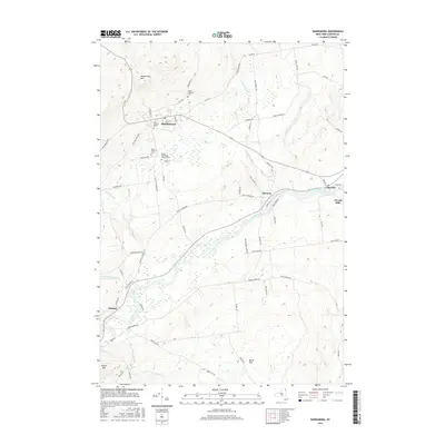
2016 Map of Dannemora
USGS Topo · Published 2016About this map
Dannemora sits at the foot of Dannemora Mtn, a village defined by its significant institutional history and early infrastructure. The map documents several cemeteries tied to these facilities, including the State Prison Cem and the State Prison and Hospital Cem, reflecting the area's long-standing role as a correctional and medical hub. The industrial and transit history of the region is traced by an Old Rail Road Bed passing through the village, while to the south, the Saranac River flows toward settlements like Cadyville and Woods Mills. Along the river’s path, small communities such as Elsinore and Saranac are situated near tributary crossings like Corners Brook and Ryans Brook. The terrain is marked by notable peaks, including Burnt Hill and Russia Mtn, which frame the valley’s development around water power and institutional land use.
Find a feature on this map
70 named features on this map. Tap any name to fly to it.
Don’t see what you’re looking for? This feature index may not catch every label — zoom into the map to look around manually.
Map Details
Editions of this 2016 Dannemora Map
This is the sole edition of this map. No revisions or reprints were ever made.
Other maps of this area

1895 · Mooers
USGS Topo · 1:62,500

1899 · Mooers
USGS Topo · 1:62,500

1911 · Lyon Mountain
USGS Topo · 1:62,500

1913 · Dannemora
USGS Topo · 1:62,500

1913 · Lyon Mountain
USGS Topo · 1:62,500

1915 · Churubusco
USGS Topo · 1:62,500

1931 · Lyon Mountain
USGS Topo · 1:62,500

1942 · Mooers
USGS Topo · 1:62,500

1943 · Churubusco
USGS Topo · 1:62,500

1943 · Mooers
USGS Topo · 1:62,500