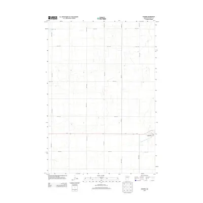
2013 Map of Danvers
USGS Topo · Published 2013About this map
Danvers serves as the primary hub of this Swift County landscape, centered around its local Po and the critical transportation corridor of Us-12. The area is defined by a strictly organized grid of agricultural roads, such as 50th St NW and 140th Ave NW, which divide the prairie into precise parcels for farming. This engineered approach to the land is further evidenced by Judicial Ditch Number Eighty, a significant water management feature cutting across the southeastern corner of the map. The interplay between these straight-line roadways like Co Hwy-13 and the drainage network highlights the region's transition into a highly managed agricultural territory during the early 21st century.
Find a feature on this map
19 named features on this map. Tap any name to fly to it.
Don’t see what you’re looking for? This feature index may not catch every label — zoom into the map to look around manually.
Map Details
Editions of this 2013 Danvers Map
This is the sole edition of this map. No revisions or reprints were ever made.
Other maps of this area

1953 · Saint Cloud
USGS Topo · 1:250,000

1957 · Saint Cloud
USGS Topo · 1:250,000

1958 · Saint Cloud
USGS Topo · 1:250,000

1958 · Big Bend City
USGS Topo · 1:24,000

1958 · Milan NW
USGS Topo · 1:24,000

1958 · Gracelock NW
USGS Topo · 1:24,000

1968 · Danvers
USGS Topo · 1:24,000

1968 · Hancock
USGS Topo · 1:24,000
1968 · Hancock SW
USGS Topo · 1:24,000
1968 · Clontarf North
USGS Topo · 1:24,000