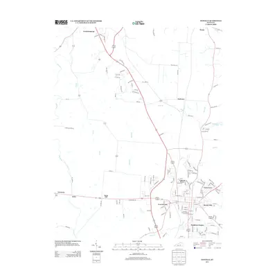
2013 Map of Danville
USGS Topo · Published 2013About this map
West Danville and its surrounding residential developments characterize this 2013 survey of the central Kentucky landscape. The area shows significant suburban expansion through neighborhoods such as Caldwell Manor, Green Acres, and Baughman Heights, which flank the established corridors of the region. This modern geographic study captures the transition from the historic outskirts of Harrodsburg to the more densely settled reaches of the Danville vicinity.
Find a feature on this map
127 named features on this map. Tap any name to fly to it.
Don’t see what you’re looking for? This feature index may not catch every label — zoom into the map to look around manually.
Map Details
Editions of this 2013 Danville Map
This is the sole edition of this map. No revisions or reprints were ever made.
Other maps of this area

1905 · Harrodsburg
USGS Topo · 1:125,000

1950 · Bryantsville
USGS Topo · 1:24,000

1952 · Perryville
USGS Topo · 1:24,000

1952 · Danville
USGS Topo · 1:24,000

1952 · Harrodsburg
USGS Topo · 1:24,000

1952 · Cornishville
USGS Topo · 1:24,000

1952 · Bryantsville
USGS Topo · 1:24,000

1952 · Stanford
USGS Topo · 1:24,000
1952 · Wilmore
USGS Topo · 1:24,000

1952 · Junction City
USGS Topo · 1:24,000