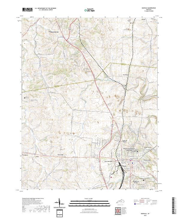
2022 Map of Danville
USGS Topo · Published 2022About this map
The Boyle County Courthouse serves as the focal point for the city of Danville, where the campus of Centre College is established south of Main Street. This 2022 survey captures the contemporary layout of the region, showing the expanding residential developments of Caldwell Manor, Beverly Hills, and Green Acres that surround the central business district. Northward, the landscape transitions toward the Mercer County line, passing through the settlement of Fauconer and toward the southern outskirts of Harrodsburg.
Find a feature on this map
120 named features on this map. Tap any name to fly to it.
Don’t see what you’re looking for? This feature index may not catch every label — zoom into the map to look around manually.
Map Details
Editions of this 2022 Danville Map
This is the sole edition of this map. No revisions or reprints were ever made.
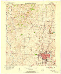
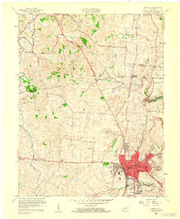
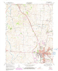
Historical Maps of West Danville Through Time
4 maps found