Loading...
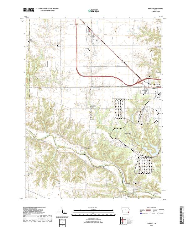
Loading map...2022 Map of Danville
USGS Topo · Published 2022About this map
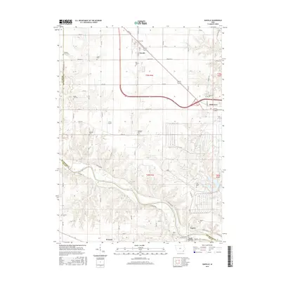
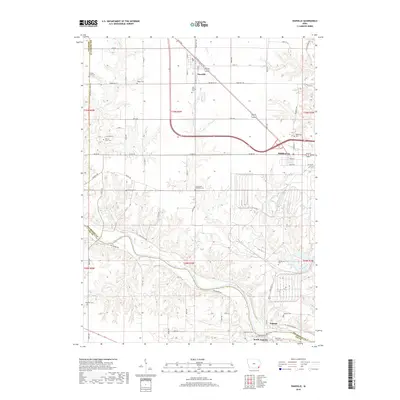
Danville and Middletown anchor the northern reaches of this Des Moines County landscape, where the BNSF Railway corridor parallels Old Highway 34. The terrain is defined by the drainage systems of Cedar Cr and Long Creek, which wind through agricultural fields and wooded draws before meeting the Skunk River at the southern boundary. This river valley marks the transition into Lee County, passing the small communities of Augusta and South Augusta.
Find a feature on this map
76 named features on this map. Tap any name to fly to it.
Don’t see what you’re looking for? This feature index may not catch every label — zoom into the map to look around manually.
Map Details
Date Portrayed2022
Date Published2022
PublisherU.S. Geological Survey
Map TypeTopographic
Scale1:24,000
Physical Dimensions24 x 29 inches
Editions of this 2022 Danville Map
This is the sole edition of this map. No revisions or reprints were ever made.
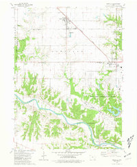
Historical Maps of Danville Through Time
6 maps found
Featured Locations
Source Details
SourceU.S. Geological Survey
CopyrightPublic Domain