
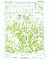
1964 Map of West Point
USGS Topo · Published 1965About this map
The settlement of West Point serves as the central hub of this mid-1960s Lee County landscape, situated atop the fertile ground of Pleasant Ridge. The town is bisected by the Chicago Burlington and Quincy railroad, which runs through the northern half of the quadrangle. This era shows a community deeply connected to its rural roots, evidenced by the numerous family and community burial grounds dotting the township lines, including Pitman Chapel Cem, Calvary Cem, and Whorton Cem.
Find a feature on this map
26 named features on this map. Tap any name to fly to it.
Don’t see what you’re looking for? This feature index may not catch every label — zoom into the map to look around manually.
Map Details
Editions of this 1964 West Point Map
2 editions found
Other maps of this area

1936 · Fort Madison
USGS Topo · 1:62,500

1958 · Burlington
USGS Topo · 1:250,000

1961 · Burlington
USGS Topo · 1:250,000

1963 · Burlington
USGS Topo · 1:250,000
1964 · Nauvoo
USGS Topo · 1:24,000
1964 · Niota
USGS Topo · 1:24,000
1964 · Fort Madison
USGS Topo · 1:24,000
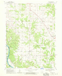
1968 · Argyle
USGS Topo · 1:24,000

1968 · Donnellson
USGS Topo · 1:24,000
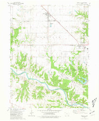
1981 · Danville
USGS Topo · 1:24,000