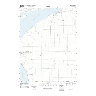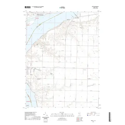
1964 Map of Niota
USGS Topo · Published 1965About this map
The Mississippi River defines this 1964 landscape, serving as a busy industrial and transit artery where the Atchison Topeka and Santa Fe railroad crosses into Illinois via a prominent Toll Bridge. On the eastern bank, the settlement of Niota (East Fort Madison Sta) and the original site at Old Niota mark the riverfront commerce of the era. To the south, the historical significance of the region is evident in the cluster of burial grounds and religious sites near Nauvoo, including the Old Nauvoo Cem, Pioneer Saints Cem, and SS Peter and Paul Cem. Inland, the terrain of Appanoose and Sonora townships transitions to an agricultural plateau carved by Tyson Creek and Larry Creek. This survey captures the rural infrastructure of the mid-1960s, from the Nauvoo-Colusa High Sch to the small community of Powellton and the Thornber Cem.
Find a feature on this map
33 named features on this map. Tap any name to fly to it.
Don’t see what you’re looking for? This feature index may not catch every label — zoom into the map to look around manually.
Map Details
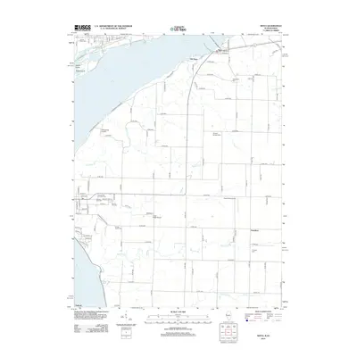
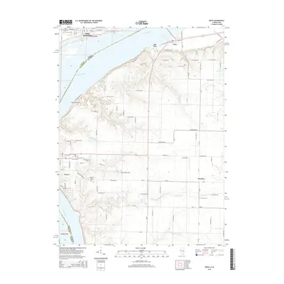
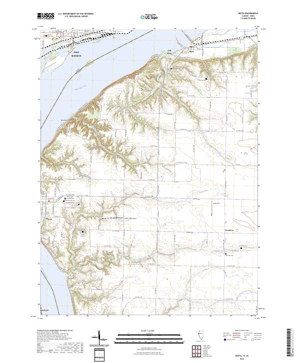
Editions of this 1964 Niota Map
2 editions found
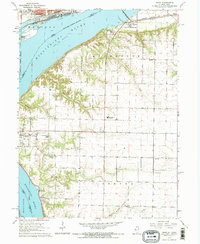
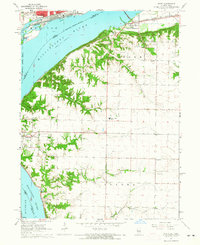
Historical Maps of Fort Madison Through Time
7 maps found