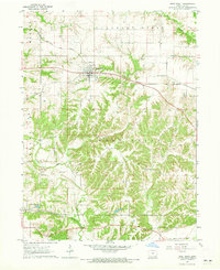
1968 Map of Donnellson
USGS Topo · Published 1970About this map
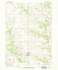
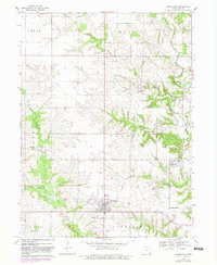
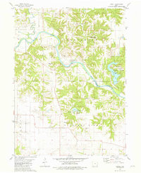
Donnellson and the surrounding townships of Franklin, Harrison, and Marion are captured here during a period of agricultural stability and local development in the late 1960s. The landscape is defined by the branching waterways of Sugar Creek, including the West Branch and Little Sugar Creek, which carve through the Iowa prairie. This map is particularly valuable for genealogical research, documenting numerous small family and denominational burial grounds such as Mennonite Cem, Evangelical Cem, and Blacksmith Cem that dot the countryside. The transportation network is anchored by the Chicago Burlington and Quincy railroad, which serves the town centers and the Franklin Station area. Beyond the residential clusters in Franklin and Mount Hamill, the map identifies specific rural landmarks including the local Fairground, a utility Substation, and scattered Quarry sites that hint at the region's underlying geology and local industry.
Find a feature on this map
32 named features on this map. Tap any name to fly to it.
Don’t see what you’re looking for? This feature index may not catch every label — zoom into the map to look around manually.
Map Details
Editions of this 1968 Donnellson Map
2 editions found
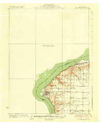
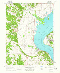
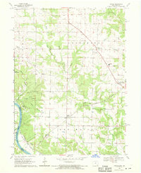
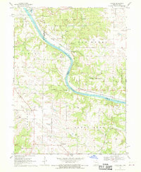
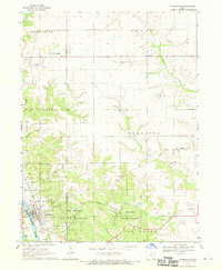
Other maps of this area
1936 · Fort Madison
USGS Topo · 1:62,500

1958 · Burlington
USGS Topo · 1:250,000

1961 · Burlington
USGS Topo · 1:250,000

1963 · Burlington
USGS Topo · 1:250,000
1964 · Nauvoo
USGS Topo · 1:24,000
1964 · West Point
USGS Topo · 1:24,000
1968 · Argyle
USGS Topo · 1:24,000
1968 · Croton
USGS Topo · 1:24,000
1968 · Farmington
USGS Topo · 1:24,000
1981 · Lowell
USGS Topo · 1:24,000