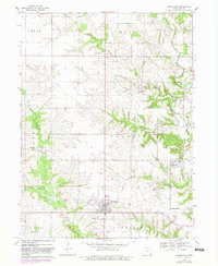
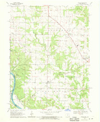
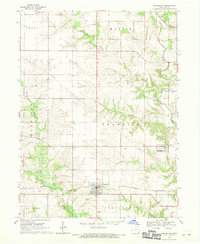
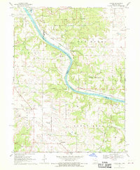
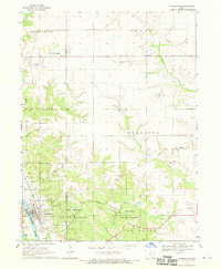
1968 Map of Donnellson
USGS Topo · Published 1983About this map
Donnellson and the surrounding townships of Lee County are defined by a rhythmic landscape of agricultural plateaus and the winding valleys of Sugar Creek and Little Sugar Creek. The town itself is centered around a distinctive grid, featuring a large Fairground and a community focal point at Donnellson Cemetery. The transportation history of the area is etched into the terrain via the Old Railroad Grade which passes through town, reflecting the transition from rail-dependent commerce to the modern highway system that intersects at the town's core.
Find a feature on this map
34 named features on this map. Tap any name to fly to it.
Don’t see what you’re looking for? This feature index may not catch every label — zoom into the map to look around manually.
Map Details
Editions of this 1968 Donnellson Map
2 editions found
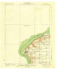
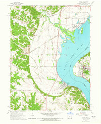
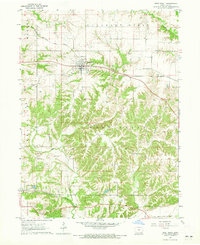
Other maps of this area
1936 · Fort Madison
USGS Topo · 1:62,500

1958 · Burlington
USGS Topo · 1:250,000

1961 · Burlington
USGS Topo · 1:250,000

1963 · Burlington
USGS Topo · 1:250,000
1964 · Nauvoo
USGS Topo · 1:24,000
1964 · West Point
USGS Topo · 1:24,000
1968 · Argyle
USGS Topo · 1:24,000
1968 · Donnellson
USGS Topo · 1:24,000
1968 · Croton
USGS Topo · 1:24,000
1968 · Farmington
USGS Topo · 1:24,000