
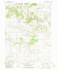
1968 Map of Farmington
USGS Topo · Published 1970About this map
Farmington anchors the southern landscape of this 1960s survey, situated where the Chicago Rock Island and Pacific and the Chicago Burlington and Quincy railroads converge near the Des Moines River. The map documents a rural Iowa community in transition, showing the expansive Shimek State Forest and the development of Indian Lake Park. Settlement patterns are defined by small hamlets like Sharon and Primrose, each supported by their respective burial grounds such as Sharon Cem and Primrose Cem.
Find a feature on this map
40 named features on this map. Tap any name to fly to it.
Don’t see what you’re looking for? This feature index may not catch every label — zoom into the map to look around manually.
Map Details
Editions of this 1968 Farmington Map
2 editions found
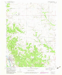
Other maps of this area

1958 · Burlington
USGS Topo · 1:250,000

1961 · Burlington
USGS Topo · 1:250,000

1963 · Burlington
USGS Topo · 1:250,000

1968 · Anson
USGS Topo · 1:24,000

1968 · Bonaparte
USGS Topo · 1:24,000
1968 · Argyle
USGS Topo · 1:24,000

1968 · Donnellson
USGS Topo · 1:24,000
1968 · Croton
USGS Topo · 1:24,000
1981 · Salem
USGS Topo · 1:24,000
1981 · Hillsboro
USGS Topo · 1:24,000