
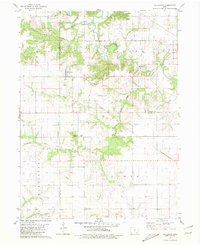
1968 Map of Bonaparte
USGS Topo · Published 1970About this map
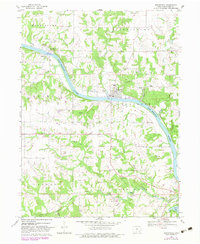
The Des Moines River carves a deep valley through this corner of Van Buren County, anchoring the historic riverfront settlements of Bonaparte, Bentonsport, and Vernon. By the late 1960s, the landscape reflects a transition from nineteenth-century river commerce to a mix of mid-century infrastructure and agriculture. The Chicago Rock Island and Pacific railroad tracks follow the river's north bank, while the Burlington and Quincy line cuts through the southern reaches near Farmington. Genealogy researchers can find numerous family-named burial grounds dotting the upland plateaus, such as Bentonsport Cem, Thomson Cem, and Steinmeyer Cem. The presence of the Bonaparte Municipal Airfield and the development of Indian Lake Park illustrate how the area's land use evolved to include regional recreation and aviation alongside traditional limestone quarries.
Find a feature on this map
44 named features on this map. Tap any name to fly to it.
Don’t see what you’re looking for? This feature index may not catch every label — zoom into the map to look around manually.
Map Details
Editions of this 1968 Bonaparte Map
2 editions found
Other maps of this area

1958 · Burlington
USGS Topo · 1:250,000

1961 · Burlington
USGS Topo · 1:250,000

1963 · Burlington
USGS Topo · 1:250,000

1968 · Anson
USGS Topo · 1:24,000
1968 · Croton
USGS Topo · 1:24,000

1968 · Keosauqua
USGS Topo · 1:24,000

1968 · Farmington
USGS Topo · 1:24,000
1968 · Mount Sterling
USGS Topo · 1:24,000
1981 · Mount Zion
USGS Topo · 1:24,000
1981 · Hillsboro
USGS Topo · 1:24,000