1981 Map of Mount Zion
USGS Topo · Published 1981About this map
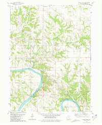
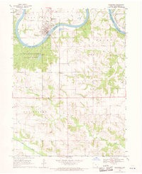
Des Moines River meanders through the southern half of this landscape, carving deep valleys that contrast with the organized grid of upland farms in Van Buren County. The town of Mount Zion sits at a critical junction near the Chicago Rock Island and Pacific railroad line, which follows the river's northern bank before cutting across the interior. Evidence of early settlement and community life is scattered throughout the township, from the County Home and Mt Zion Ch to small rural burials like Miller Cem and Leech Cem.
Find a feature on this map
22 named features on this map. Tap any name to fly to it.
Don’t see what you’re looking for? This feature index may not catch every label — zoom into the map to look around manually.
Map Details
Editions of this 1981 Mount Zion Map
This is the sole edition of this map. No revisions or reprints were ever made.
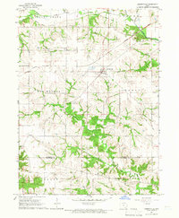
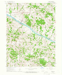
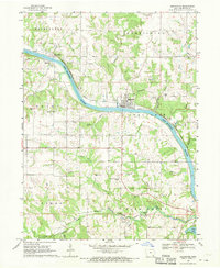
Other maps of this area

1954 · Centerville
USGS Topo · 1:250,000

1957 · Centerville
USGS Topo · 1:250,000

1958 · Centerville
USGS Topo · 1:250,000

1958 · Burlington
USGS Topo · 1:250,000

1961 · Burlington
USGS Topo · 1:250,000

1963 · Burlington
USGS Topo · 1:250,000
1965 · Libertyville
USGS Topo · 1:24,000
1965 · Douds
USGS Topo · 1:24,000
1968 · Bonaparte
USGS Topo · 1:24,000
1968 · Keosauqua
USGS Topo · 1:24,000