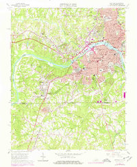
1965 Map of Danville
USGS Topo · Published 1978About this map
The Dan River bisects this mid-century landscape, serving as the industrial and geographic heart of Danville. The city’s urban core is characterized by educational and civic institutions like Averett College and the Danville Community College, alongside critical infrastructure such as the Filtration Plant and Powerplant. To the south, the textile industry’s footprint is evident in Schoolfield, where the Dan River Textile School stands near the residential neighborhoods of Almagro and Stokesland.
Find a feature on this map
69 named features on this map. Tap any name to fly to it.
Don’t see what you’re looking for? This feature index may not catch every label — zoom into the map to look around manually.
Map Details
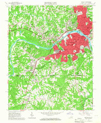
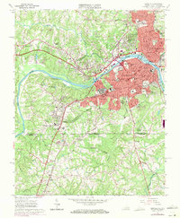
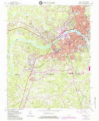
Editions of this 1965 Danville Map
4 editions found
Other maps of this area

1923 · Danville
USGS Topo · 1:48,000

1924 · Draper
USGS Topo · 1:48,000

1925 · Danville
USGS Topo · 1:62,500

1926 · Draper
USGS Topo · 1:62,500

1944 · Draper
USGS Topo · 1:62,500

1953 · Greensboro
USGS Topo · 1:250,000

1954 · Greensboro
USGS Topo · 1:250,000

1962 · Greensboro
USGS Topo · 1:250,000
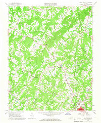
1964 · Mount Hermon
USGS Topo · 1:24,000
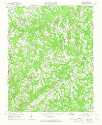
1964 · Blairs
USGS Topo · 1:24,000