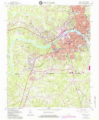
1965 Map of Danville
USGS Topo · Published 1984About this map
The Dan River serves as the industrial and topographic heart of this region, separating the core of Danville from northern developments like Westover Hills. The city’s history as a textile and educational hub is clearly etched on the landscape, with landmarks such as the Dan River Textile Sch, Averett College, and Stratford College situated amidst dense residential blocks. The industrial character of the era is evident in the sprawling facilities at Schoolfield and the presence of the Southern Railway lines that facilitated trade across the Virginia-North Carolina border.
Find a feature on this map
90 named features on this map. Tap any name to fly to it.
Don’t see what you’re looking for? This feature index may not catch every label — zoom into the map to look around manually.
Map Details
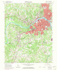
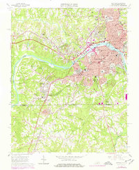
Editions of this 1965 Danville Map
4 editions found

Other maps of this area

1923 · Danville
USGS Topo · 1:48,000

1924 · Draper
USGS Topo · 1:48,000

1925 · Danville
USGS Topo · 1:62,500

1926 · Draper
USGS Topo · 1:62,500

1944 · Draper
USGS Topo · 1:62,500

1953 · Greensboro
USGS Topo · 1:250,000

1954 · Greensboro
USGS Topo · 1:250,000

1962 · Greensboro
USGS Topo · 1:250,000

1964 · Mount Hermon
USGS Topo · 1:24,000
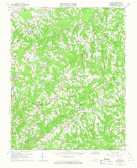
1964 · Blairs
USGS Topo · 1:24,000