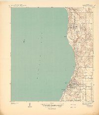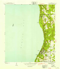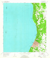
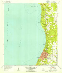
1953 Map of Daphne
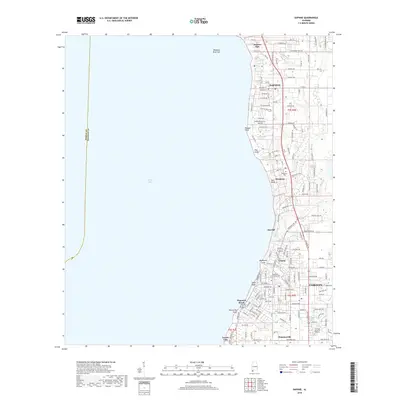
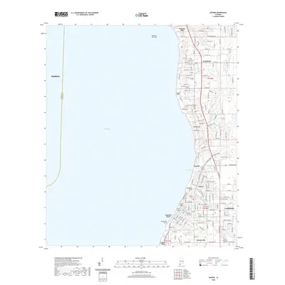
USGS Topo · Published 1964About this map
The eastern shores of Mobile Bay define this mid-century landscape, where the growing communities of Fairhope and Daphne overlook the water from the high bluffs of Baldwin County. The era's educational and social infrastructure is well-documented, showing the Baldwin Co Training Sch and Daphne Jr High Sch alongside the institutional grounds of the Gulf Coast Experiment Sta. Moving south along the coastline, smaller settlements like Montrose and Seacliff lead toward the bustling waterfront at Magnolia Beach, while the local maritime culture is anchored by the Fairhope Yacht Club. Inland, the terrain is cut by drainage gullies and creeks such as Rock Creek and Fly Creek, which helped shape the early road network including Belforest Road and Section Street. The map provides a detailed view of the region before the extensive modern expansion, preserving the locations of rural landmarks like Friends Ch and the historic Jackson Oak.
Find a feature on this map
38 named features on this map. Tap any name to fly to it.
Don’t see what you’re looking for? This feature index may not catch every label — zoom into the map to look around manually.
Map Details
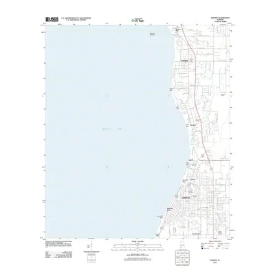
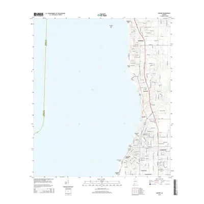
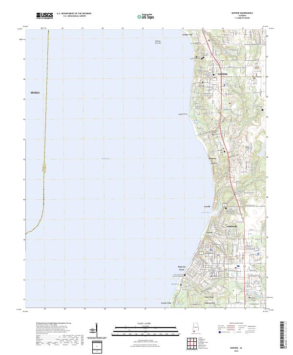
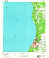
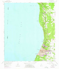
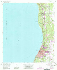
Editions of this 1953 Daphne Map
5 editions found
Historical Maps of Mobile Through Time
8 maps found