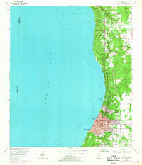
1953 Map of Daphne
USGS Topo · Published 1968About this map
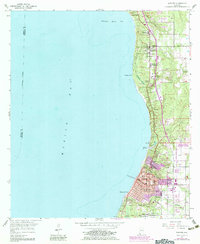
Mobile Bay defines the western edge of this coastal landscape, where the Eastern Shore of Alabama underwent significant expansion in the mid-20th century. Purple photorevision tints highlight the growth of Fairhope and Daphne, showing the transition from established bayfront settlements to more dense suburban patterns. The map documents an active community infrastructure including the Baldwin Co Training Sch, Fairhope High Sch, and the Gulf Coast Experiment Sta. Marine activity is centered around the Municipal Wharf and the Fairhope Yacht Club, while smaller enclaves like Montrose and Seacliff dot the bluffs. Inland, the rural character persists along the Belforest Road, where agricultural research and local schools served the growing Baldwin County population near the Blakeley River Bar.
Find a feature on this map
36 named features on this map. Tap any name to fly to it.
Don’t see what you’re looking for? This feature index may not catch every label — zoom into the map to look around manually.
Map Details
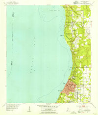
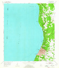
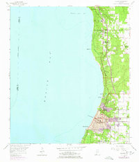
Editions of this 1953 Daphne Map
5 editions found
Other maps of this area

1921 · Point Clear
USGS Topo · 1:62,500

1921 · Fairhope
USGS Topo · 1:62,500

1921 · Delchamps
USGS Topo · 1:62,500

1922 · Mobile
USGS Topo · 1:62,500

1939 · Daphne
USGS Topo · 1:31,680

1940 · Silverhill
USGS Topo · 1:31,680

1940 · Hollingers Island
USGS Topo · 1:31,680

1940 · Mobile
USGS Topo · 1:31,680

1940 · Mobile
USGS Topo · 1:62,500

1941 · Daphne
USGS Topo · 1:31,680