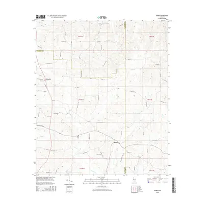
2015 Map of Darbun
USGS Topo · Published 2015About this map
The community of Sartinville stands as a focal point in this portion of South Mississippi, where the boundaries of Lawrence, Walthall, and Marion counties meet. The landscape is defined by a dense network of family-named roads, including Eddie Rials Ln, Robert Brown Ln, and Jack Duncan Rd, indicating a long-standing pattern of rural landholding and local lineage. These transit routes weave between the winding courses of Magees Cr and Darbun Cr.
Find a feature on this map
78 named features on this map. Tap any name to fly to it.
Don’t see what you’re looking for? This feature index may not catch every label — zoom into the map to look around manually.
Map Details
Editions of this 2015 Darbun Map
This is the sole edition of this map. No revisions or reprints were ever made.
Other maps of this area

1953 · Hattiesburg
USGS Topo · 1:250,000

1953 · Natchez
USGS Topo · 1:250,000

1956 · Natchez
USGS Topo · 1:250,000

1958 · Hattiesburg
USGS Topo · 1:250,000

1959 · Natchez
USGS Topo · 1:250,000

1970 · Sandy Hook NW
USGS Topo · 1:24,000

1970 · Kokomo
USGS Topo · 1:24,000

1970 · Mesa
USGS Topo · 1:24,000

1970 · Topeka
USGS Topo · 1:24,000

1970 · Darbun
USGS Topo · 1:24,000