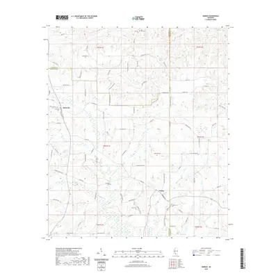
2020 Map of Darbun
USGS Topo · Published 2020About this map
Sartinville and Darbun anchor this 2020 landscape where the borders of Lawrence, Walthall, and Marion counties converge. This interior region of Mississippi is defined by a dense network of family-named roads, such as Boyd Harvey Rd, Dan Holmes Rd, and Jack Duncan Rd, which trace the property lines and historical settlement patterns of the Piney Woods.
Find a feature on this map
79 named features on this map. Tap any name to fly to it.
Don’t see what you’re looking for? This feature index may not catch every label — zoom into the map to look around manually.
Map Details
Editions of this 2020 Darbun Map
This is the sole edition of this map. No revisions or reprints were ever made.
Other maps of this area

1953 · Hattiesburg
USGS Topo · 1:250,000

1953 · Natchez
USGS Topo · 1:250,000

1956 · Natchez
USGS Topo · 1:250,000

1958 · Hattiesburg
USGS Topo · 1:250,000

1959 · Natchez
USGS Topo · 1:250,000

1970 · Sandy Hook NW
USGS Topo · 1:24,000

1970 · Kokomo
USGS Topo · 1:24,000

1970 · Mesa
USGS Topo · 1:24,000

1970 · Topeka
USGS Topo · 1:24,000

1970 · Darbun
USGS Topo · 1:24,000