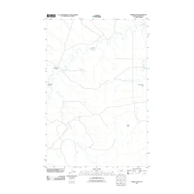
2011 Map of Darby Buttes
USGS Topo · Published 2011About this map
Darby Buttes rise above the high plains of Garfield County in this 2011 topograhic study, anchoring a landscape shaped by intermittent water and livestock management. The drainage patterns of Santo Arroyo Creek and Sand Creek dominate the terrain, illustrating the intricate network of coulees and washes typical of this Montana region. Human intervention is evident through the placement of earthen dams designed to manage these seasonal flows, including the Claribell Number 3 Dam, Sand Cow Dam, and Lacosta Sand Creek Dam. The presence of Southerland Coulee further highlights the local geological nomenclature, where the relief is defined more by erosion and drainage than by major settlement. This survey provides a clear look at the sparse road network and hydraulic infrastructure essential for ranching and land use in this part of the state.
Find a feature on this map
8 named features on this map. Tap any name to fly to it.
Don’t see what you’re looking for? This feature index may not catch every label — zoom into the map to look around manually.
Map Details
Editions of this 2011 Darby Buttes Map
This is the sole edition of this map. No revisions or reprints were ever made.
Other maps of this area

1954 · Jordan
USGS Topo · 1:250,000

1956 · Jordan
USGS Topo · 1:250,000

1958 · Jordan
USGS Topo · 1:250,000

1964 · Jordan
USGS Topo · 1:250,000

1964 · Jordan SE
USGS Topo · 1:24,000

1964 · Jordan
USGS Topo · 1:24,000

1965 · Kirby Ranch
USGS Topo · 1:24,000

1965 · Darby Buttes
USGS Topo · 1:24,000

1965 · Dice Dam
USGS Topo · 1:24,000

1965 · Ziegele Coulee
USGS Topo · 1:24,000