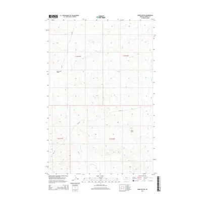
2014 Map of Darby Buttes
USGS Topo · Published 2014About this map
Darby Buttes rise as a prominent topographical landmark in this Garfield County interior, providing a fixed point of reference in an area defined by its complex drainage network. The landscape is carved by seasonal watercourses and drainages, most notably Santo Arroyo Cr and the winding course of Sand Creek in the western half of the sheet. To the northeast, the terrain slopes toward Long Br Cr, while the northwest is marked by the distinct depression of Southerland Coulee. Human presence is sparse, etched into the landscape primarily through the limited grid of Lacosta Rd and Moe Rd. The 2014 survey reveals a transition between townships T16N and T17N, where the land use remains dictated by the natural contours of the northern plains, showing no significant modern development beyond these rural thoroughfares.
Find a feature on this map
12 named features on this map. Tap any name to fly to it.
Don’t see what you’re looking for? This feature index may not catch every label — zoom into the map to look around manually.
Map Details
Editions of this 2014 Darby Buttes Map
This is the sole edition of this map. No revisions or reprints were ever made.
Other maps of this area

1954 · Jordan
USGS Topo · 1:250,000

1956 · Jordan
USGS Topo · 1:250,000

1958 · Jordan
USGS Topo · 1:250,000

1964 · Jordan
USGS Topo · 1:250,000

1964 · Jordan SE
USGS Topo · 1:24,000

1964 · Jordan
USGS Topo · 1:24,000

1965 · Kirby Ranch
USGS Topo · 1:24,000

1965 · Darby Buttes
USGS Topo · 1:24,000

1965 · Dice Dam
USGS Topo · 1:24,000

1965 · Ziegele Coulee
USGS Topo · 1:24,000