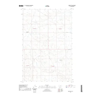
2020 Map of Darby Buttes
USGS Topo · Published 2020About this map
Darby Buttes rise above the drainage networks of Garfield County, marking a high point in this semi-arid landscape. The terrain is defined by a complex system of seasonal watercourses, including Santo Arroyo Cr and the winding Southerland Coulee, which shape the land's eroded profile. This 2020 record illustrates the enduring isolation of the Big Dry country, where human impact is largely limited to a sparse network of section roads like Krikorian Rd and Long Branch Rd. These tracks follow the established Public Land Survey System boundaries, bisecting townships like t17n r38e and t16n r38e. The persistence of these named geographical features and local road names provides a clear framework for understanding land tenure and ranching history in this corner of Montana.
Find a feature on this map
11 named features on this map. Tap any name to fly to it.
Don’t see what you’re looking for? This feature index may not catch every label — zoom into the map to look around manually.
Map Details
Editions of this 2020 Darby Buttes Map
This is the sole edition of this map. No revisions or reprints were ever made.
Other maps of this area

1954 · Jordan
USGS Topo · 1:250,000

1956 · Jordan
USGS Topo · 1:250,000

1958 · Jordan
USGS Topo · 1:250,000

1964 · Jordan
USGS Topo · 1:250,000

1964 · Jordan SE
USGS Topo · 1:24,000

1964 · Jordan
USGS Topo · 1:24,000

1965 · Kirby Ranch
USGS Topo · 1:24,000

1965 · Darby Buttes
USGS Topo · 1:24,000

1965 · Dice Dam
USGS Topo · 1:24,000

1965 · Ziegele Coulee
USGS Topo · 1:24,000