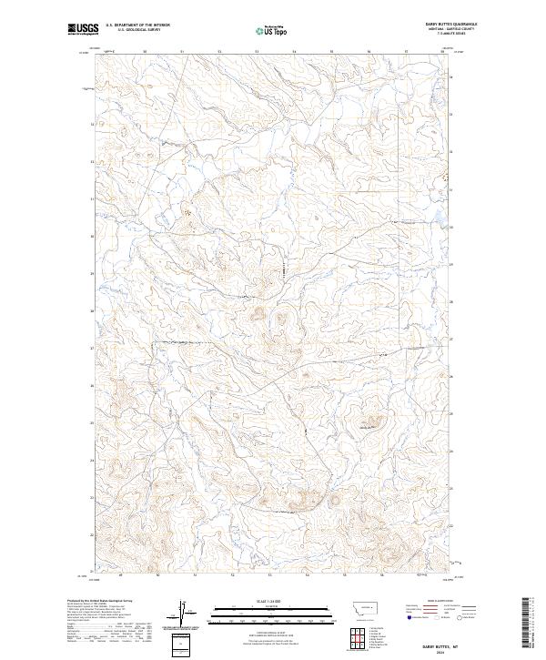
2024 Map of Darby Buttes
USGS Topo · Published 2024About this map
Darby Buttes rise above the drainage systems of Garfield County, marking a prominent relief in this section of the Montana rangeland. The landscape is defined by the carved paths of Santo Arroyo Creek, which flows through the southern and western portions of the quadrangle, and Sand Creek to the northwest. This 2024 survey documents a sparsely settled territory where land use is oriented around large-scale township divisions, including t16n r38e and t17n r38e. Human infrastructure is limited to a few arterial paths such as Krikorian Rd and Long Branch Rd, which provide access to the remote coulees and drainage basins like that of Long Branch Creek. The map reflects a modern topographic view of the region's enduring geographic character, highlighting the complex network of intermittent watercourses that shape the high plains terrain.
Find a feature on this map
10 named features on this map. Tap any name to fly to it.
Don’t see what you’re looking for? This feature index may not catch every label — zoom into the map to look around manually.
Map Details
Editions of this 2024 Darby Buttes Map
This is the sole edition of this map. No revisions or reprints were ever made.
Other maps of this area

1954 · Jordan
USGS Topo · 1:250,000

1956 · Jordan
USGS Topo · 1:250,000

1958 · Jordan
USGS Topo · 1:250,000

1964 · Jordan
USGS Topo · 1:250,000

1964 · Jordan SE
USGS Topo · 1:24,000

1964 · Jordan
USGS Topo · 1:24,000

1965 · Kirby Ranch
USGS Topo · 1:24,000

1965 · Darby Buttes
USGS Topo · 1:24,000

1965 · Dice Dam
USGS Topo · 1:24,000

1965 · Ziegele Coulee
USGS Topo · 1:24,000