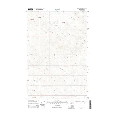
2014 Map of Darby Buttes SW
USGS Topo · Published 2014About this map
Darby Buttes and Fig Mountain dominate this central Garfield County landscape, characterized by the intricate drainage systems typical of the Missouri River breaks region. This 2014 survey captures the rural ranching infrastructure of the area, featuring isolated operations like Kirby Ranch and Kramer Ranch. The terrain is defined by deep incisions such as Tinsley Coulee and Long Coulee, which channel seasonal runoff into major tributaries like Wolf Cr and Badger Cr.
Find a feature on this map
28 named features on this map. Tap any name to fly to it.
Don’t see what you’re looking for? This feature index may not catch every label — zoom into the map to look around manually.
Map Details
Editions of this 2014 Darby Buttes SW Map
This is the sole edition of this map. No revisions or reprints were ever made.
Other maps of this area

1954 · Jordan
USGS Topo · 1:250,000

1954 · Forsyth
USGS Topo · 1:250,000

1956 · Jordan
USGS Topo · 1:250,000

1957 · Forsyth
USGS Topo · 1:250,000

1958 · Jordan
USGS Topo · 1:250,000

1958 · Forsyth
USGS Topo · 1:250,000

1964 · Jordan
USGS Topo · 1:250,000

1965 · Kirby Ranch
USGS Topo · 1:24,000

1965 · Darby Buttes
USGS Topo · 1:24,000

1965 · Dice Dam
USGS Topo · 1:24,000