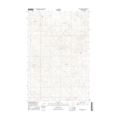
2017 Map of Darby Buttes SW
USGS Topo · Published 2017About this map
Windy Ridge stands as a prominent landmark in this section of Garfield County, overlooking a network of ephemeral watercourses and deep ravines. The landscape is defined by its drainage patterns, with Santo Arroyo Cr and Long Br cutting through the northern reaches while Wolf Cr and Wolf Springs anchor the southern terrain. This region of Montana exhibits a sparse infrastructure typical of ranching country, where movement is dictated by routes like 17220 RD and W Little Dry Rd. The topographical detail highlights the varied elevation of Tinsley Coulee and Long Coulee, illustrating the erosional character of the plains. These features, along with names like Tepee Cr and Badger Cr, reflect the local naming conventions of the high plains where water sources and prominent coulees are the primary geographical markers.
Find a feature on this map
20 named features on this map. Tap any name to fly to it.
Don’t see what you’re looking for? This feature index may not catch every label — zoom into the map to look around manually.
Map Details
Editions of this 2017 Darby Buttes SW Map
This is the sole edition of this map. No revisions or reprints were ever made.
Other maps of this area

1954 · Jordan
USGS Topo · 1:250,000

1954 · Forsyth
USGS Topo · 1:250,000

1956 · Jordan
USGS Topo · 1:250,000

1957 · Forsyth
USGS Topo · 1:250,000

1958 · Jordan
USGS Topo · 1:250,000

1958 · Forsyth
USGS Topo · 1:250,000

1964 · Jordan
USGS Topo · 1:250,000

1965 · Kirby Ranch
USGS Topo · 1:24,000

1965 · Darby Buttes
USGS Topo · 1:24,000

1965 · Dice Dam
USGS Topo · 1:24,000