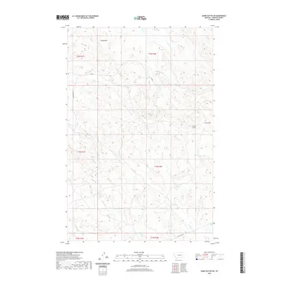
2020 Map of Darby Buttes SW
USGS Topo · Published 2020About this map
Windy Ridge overlooks a landscape defined by the intricate drainages of Garfield County, where cattle ranching and water management shape the modern high plains. The map records the persistence of isolated operations such as Kramer Ranch, situated among a network of coulees including Tinsley Coulee and Long Coulee. Water is the primary driver of life in this arid region, as evidenced by the convergence of Wolf Cr, Badger Cr, and the branching Little Dry Cr. Named watering points like Wolf Springs and Antelope Springs serve as vital landmarks for local history and land use. The terrain is marked by significant features like Mother Butte, while a sparse road network, including 17220 RD and Santo Arroyo RD, connects these distant outposts across the breaks and ridges of eastern Montana.
Find a feature on this map
25 named features on this map. Tap any name to fly to it.
Don’t see what you’re looking for? This feature index may not catch every label — zoom into the map to look around manually.
Map Details
Editions of this 2020 Darby Buttes SW Map
This is the sole edition of this map. No revisions or reprints were ever made.
Other maps of this area

1954 · Jordan
USGS Topo · 1:250,000

1954 · Forsyth
USGS Topo · 1:250,000

1956 · Jordan
USGS Topo · 1:250,000

1957 · Forsyth
USGS Topo · 1:250,000

1958 · Jordan
USGS Topo · 1:250,000

1958 · Forsyth
USGS Topo · 1:250,000

1964 · Jordan
USGS Topo · 1:250,000

1965 · Kirby Ranch
USGS Topo · 1:24,000

1965 · Darby Buttes
USGS Topo · 1:24,000

1965 · Dice Dam
USGS Topo · 1:24,000