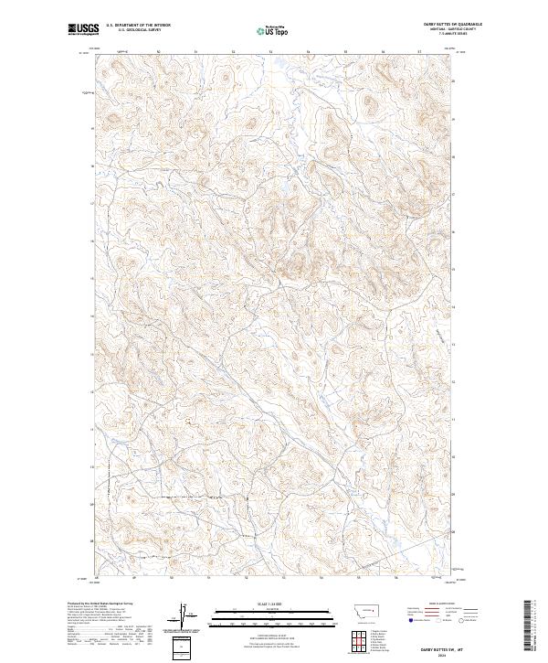
2024 Map of Darby Buttes SW
USGS Topo · Published 2024About this map
Wolf Springs provides a rare water source in this reach of Garfield County, marking a landscape defined by an intricate network of drainage systems. The terrain is characterized by the deep incisions of Long Coulee and the winding paths of Santo Arroyo Creek and Phillips Creek. This 2024 survey reflects the modern configuration of this cattle-country environment, where access is maintained through a few critical arteries like 17220 Rd and W Little Dry Rd. While largely lacking in permanent settlements, the map illustrates the persistence of the Public Land Survey System, with township boundaries such as t15n r38e organizing the remote ranchlands. The confluence of numerous small tributaries, including Tepee Creek and Wolf Creek, reveals the complex hydrologic character of this high-plains region.
Find a feature on this map
15 named features on this map. Tap any name to fly to it.
Don’t see what you’re looking for? This feature index may not catch every label — zoom into the map to look around manually.
Map Details
Editions of this 2024 Darby Buttes SW Map
This is the sole edition of this map. No revisions or reprints were ever made.
Other maps of this area

1954 · Jordan
USGS Topo · 1:250,000

1954 · Forsyth
USGS Topo · 1:250,000

1956 · Jordan
USGS Topo · 1:250,000

1957 · Forsyth
USGS Topo · 1:250,000

1958 · Jordan
USGS Topo · 1:250,000

1958 · Forsyth
USGS Topo · 1:250,000

1964 · Jordan
USGS Topo · 1:250,000

1965 · Kirby Ranch
USGS Topo · 1:24,000

1965 · Darby Buttes
USGS Topo · 1:24,000

1965 · Dice Dam
USGS Topo · 1:24,000