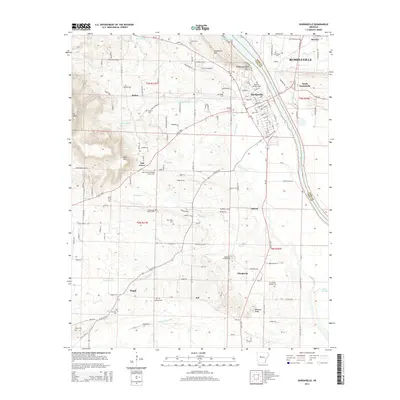
2014 Map of Dardanelle
USGS Topo · Published 2014About this map
The Arkansas River serves as the dominant geographic and jurisdictional boundary here, separating Russellville in Pope County from Dardanelle in Yell County. This 2014 survey captures a landscape defined by its prominent river bluffs and family history. Landmarks like Dardanelle Rock and Dardanelle Mtn overlook the valley, while the residential streets of North Dardanelle and the larger city of Russellville extend north toward Bernice.
Find a feature on this map
89 named features on this map. Tap any name to fly to it.
Don’t see what you’re looking for? This feature index may not catch every label — zoom into the map to look around manually.
Map Details
Editions of this 2014 Dardanelle Map
This is the sole edition of this map. No revisions or reprints were ever made.
Other maps of this area

1888 · Dardanelle #4
USGS Topo · 1:62,500

1888 · Dardanelle #2
USGS Topo · 1:62,500

1888 · Dardanelle #1
USGS Topo · 1:62,500

1888 · Dardanelle #3
USGS Topo · 1:62,500

1890 · Dardanelle
USGS Topo · 1:125,000

1956 · Russellville
USGS Topo · 1:250,000
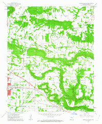
1962 · Russellville East
USGS Topo · 1:24,000

1962 · Delaware
USGS Topo · 1:24,000
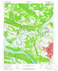
1963 · Russellville West
USGS Topo · 1:24,000

1964 · Russellville
USGS Topo · 1:250,000