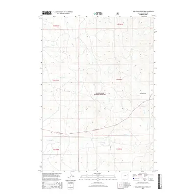
2015 Map of Darlington Draw West
USGS Topo · Published 2015About this map
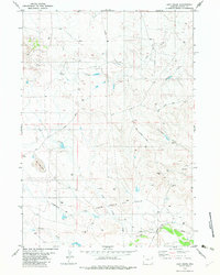
Thunder Basin National Grassland dominates this corner of Wyoming, where the high plains are defined by an intricate network of seasonal drainage and prairie creeks. This 2015 survey reveals a landscape of ranching and resource management, with local infrastructure like Rochelle Rd and Lynch Rd navigating the wide basins between Darlington Draw and the various forks of Black Thunder Cr. The map preserves the complex water system of the region, from Prairie Cr in the north to the southern reaches of Little Thunder Cr and Piney Cr. Notable roads like Little Thunder Rd and Cellers Loop Rd provide the primary access through this sparsely populated territory, which remains essentially open rangeland within the national grassland boundary.
Find a feature on this map
21 named features on this map. Tap any name to fly to it.
Don’t see what you’re looking for? This feature index may not catch every label — zoom into the map to look around manually.
Map Details
Editions of this 2015 Darlington Draw West Map
This is the sole edition of this map. No revisions or reprints were ever made.
Other maps of this area

1955 · Newcastle
USGS Topo · 1:250,000

1958 · Newcastle
USGS Topo · 1:250,000

1971 · Piney Canyon NE
USGS Topo · 1:24,000

1971 · Piney Canyon SE
USGS Topo · 1:24,000
1971 · Buck Creek
USGS Topo · 1:24,000

1974 · Reno Junction
USGS Topo · 1:100,000

1979 · Newcastle
USGS Topo · 1:100,000
1982 · Darlington Draw West
USGS Topo · 1:24,000
1982 · Wildlife Draw West
USGS Topo · 1:24,000
1982 · Lion Creek
USGS Topo · 1:24,000