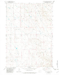
1982 Map of Wildlife Draw West
USGS Topo · Published 1982About this map
The Lone Tree Oil Field and the Todd Oil Field define the industrial character of this corner of Weston County during the early 1980s. The landscape is heavily marked by energy extraction, with a dense network of Drill Holes, Oil Wells, and storage Tanks connected by an extensive Pipeline infrastructure. This period shows a high-intensity period of exploration and production across the high plains.
Find a feature on this map
14 named features on this map. Tap any name to fly to it.
Don’t see what you’re looking for? This feature index may not catch every label — zoom into the map to look around manually.
Map Details
Editions of this 1982 Wildlife Draw West Map
This is the sole edition of this map. No revisions or reprints were ever made.
Other maps of this area

1955 · Newcastle
USGS Topo · 1:250,000

1958 · Newcastle
USGS Topo · 1:250,000

1971 · Piney Canyon NE
USGS Topo · 1:24,000
1971 · Jim Creek
USGS Topo · 1:24,000
1971 · Buck Creek
USGS Topo · 1:24,000

1974 · Reno Junction
USGS Topo · 1:100,000

1979 · Newcastle
USGS Topo · 1:100,000
1982 · Darlington Draw West
USGS Topo · 1:24,000
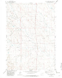
1982 · Wildlife Draw East
USGS Topo · 1:24,000
1982 · Darlington Draw East
USGS Topo · 1:24,000