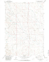
1982 Map of Wildlife Draw East
USGS Topo · Published 1982About this map
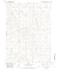
Lone Tree Creek and Lodgepole Creek carve through the high plains of Weston County in this early 1980s topographical study. The landscape is defined by its industrial utility, marked by numerous Oil Wells and supporting Tanks that pepper the terrain. These energy extraction points are scattered across the drainage basins of Rough Draw and Wildlife Draw, indicating the area's role in Wyoming's mineral economy. The map also captures the hydrological network of the region, including Hay Creek and its West Fork Hay Creek, showing how these intermittent watercourses shaped the surrounding land use and ranching boundaries during the late twentieth century.
Find a feature on this map
10 named features on this map. Tap any name to fly to it.
Don’t see what you’re looking for? This feature index may not catch every label — zoom into the map to look around manually.
Map Details
Editions of this 1982 Wildlife Draw East Map
This is the sole edition of this map. No revisions or reprints were ever made.
Other maps of this area

1955 · Newcastle
USGS Topo · 1:250,000

1958 · Newcastle
USGS Topo · 1:250,000

1979 · Newcastle
USGS Topo · 1:100,000
1982 · Darlington Draw West
USGS Topo · 1:24,000
1982 · Wildlife Draw West
USGS Topo · 1:24,000

1982 · Clareton
USGS Topo · 1:24,000
1982 · Sheep Canyon Creek West
USGS Topo · 1:24,000
1982 · Darlington Draw East
USGS Topo · 1:24,000
1982 · Raven
USGS Topo · 1:24,000
1982 · Fairview
USGS Topo · 1:24,000