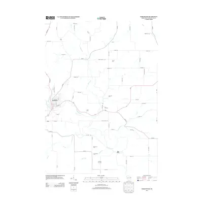
2013 Map of Darlington
USGS Topo · Published 2013About this map
The Pecatonica River winds through this Lafayette County landscape, anchoring the city of Darlington at a significant bend in the waterway. The 2013 data illustrates a region defined by its deep agricultural roots, where large-scale operations like Siegenthaler Dairy and Fitzsimons Dairy Farm sit alongside family-named holdings such as Schilling Farm, Rielly Farm, and Mosley Farms. This mapping of rural Wisconsin captures the transition between the urban streets of the county seat—including E Minerva St and Louisa St—and the surrounding dairy country.
Find a feature on this map
71 named features on this map. Tap any name to fly to it.
Don’t see what you’re looking for? This feature index may not catch every label — zoom into the map to look around manually.
Map Details
Editions of this 2013 Darlington Map
This is the sole edition of this map. No revisions or reprints were ever made.
Other maps of this area

1902 · Mineral Point
USGS Topo · 1:125,000

1923 · Blanchardville
USGS Topo · 1:62,500

1923 · South Wayne
USGS Topo · 1:62,500

1952 · Shullsburg
USGS Topo · 1:24,000

1952 · Calamine
USGS Topo · 1:24,000

1952 · Mineral Point
USGS Topo · 1:24,000

1954 · Rockford
USGS Topo · 1:250,000

1955 · Rockford
USGS Topo · 1:250,000

1958 · Rockford
USGS Topo · 1:250,000

1959 · Dubuque
USGS Topo · 1:250,000