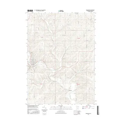
2016 Map of Darlington
USGS Topo · Published 2016About this map
The Pecatonica River winds through the heart of this Lafayette County landscape, serving as the central geographic feature for the city of Darlington. This 2016 survey captures the town's street grid and its connection to the surrounding agricultural highlands, where a dense network of country roads like Furnace Hill Rd and Mount Pleasant Rd provide access to outlying farmsteads. The confluence of several tributaries, including Otter Creek, Ames Branch, and Vinegar Br, indicates a highly dissected terrain shaped by the regional drainage systems.
Find a feature on this map
71 named features on this map. Tap any name to fly to it.
Don’t see what you’re looking for? This feature index may not catch every label — zoom into the map to look around manually.
Map Details
Editions of this 2016 Darlington Map
This is the sole edition of this map. No revisions or reprints were ever made.
Other maps of this area

1902 · Mineral Point
USGS Topo · 1:125,000

1923 · Blanchardville
USGS Topo · 1:62,500

1923 · South Wayne
USGS Topo · 1:62,500

1952 · Shullsburg
USGS Topo · 1:24,000

1952 · Calamine
USGS Topo · 1:24,000

1952 · Mineral Point
USGS Topo · 1:24,000

1954 · Rockford
USGS Topo · 1:250,000

1955 · Rockford
USGS Topo · 1:250,000

1958 · Rockford
USGS Topo · 1:250,000

1959 · Dubuque
USGS Topo · 1:250,000