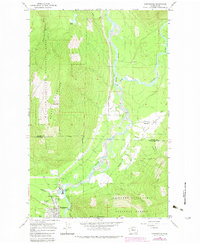
1966 Map of Darrington
USGS Topo · Published 1983About this map
Darrington and the confluence of the Sauk River and Suiattle River define this mountain landscape within the Mt Baker-Snoqualmie National Forest. The map documents a timber-driven economy, evidenced by the Three Rivers Mill Pond and the Burlington Northern railroad lines serving the valley. While the main town of Darrington hosts the Ranger Station and Darrington Airport, smaller outlying communities like Mansford, Prairie, and Andron are scattered along the river flats and lower slopes.
Find a feature on this map
27 named features on this map. Tap any name to fly to it.
Don’t see what you’re looking for? This feature index may not catch every label — zoom into the map to look around manually.
Map Details
Editions of this 1966 Darrington Map
4 editions found
Other maps of this area

1899 · Glacier Peak
USGS Topo · 1:125,000

1899 · Stillaguamish
USGS Topo · 1:125,000

1901 · Glacier Peak
USGS Topo · 1:125,000

1901 · Stilaguamish
USGS Topo · 1:125,000

1955 · Concrete
USGS Topo · 1:250,000
1957 · Silverton
USGS Topo · 1:62,500

1958 · Concrete
USGS Topo · 1:250,000

1962 · Concrete
USGS Topo · 1:250,000
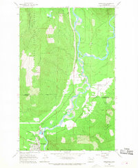
1966 · Darrington
USGS Topo · 1:24,000
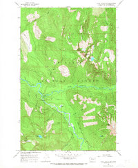
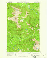
1966 · White Chuck Mtn.
USGS Topo · 1:24,000