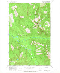
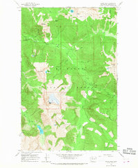
1966 Map of White Chuck Mtn.
USGS Topo · Published 1968About this map
White Chuck River and Sauk River converge in this high-elevation reach of the Cascade Range, as documented during a mid-1960s survey. The landscape is defined by its steep glaciated drainages and recreational infrastructure within the Mt Baker National Forest. Human presence is concentrated primarily along the Mountain Loop Road, where the White Chuck Campgrounds and a river Gaging Station serve travelers and researchers.
Find a feature on this map
37 named features on this map. Tap any name to fly to it.
Don’t see what you’re looking for? This feature index may not catch every label — zoom into the map to look around manually.
Map Details
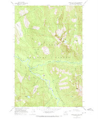
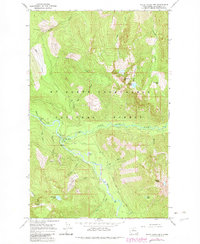
Editions of this 1966 White Chuck Mtn. Map
3 editions found
Other maps of this area

1899 · Glacier Peak
USGS Topo · 1:125,000

1899 · Stillaguamish
USGS Topo · 1:125,000

1901 · Glacier Peak
USGS Topo · 1:125,000

1901 · Stilaguamish
USGS Topo · 1:125,000

1955 · Concrete
USGS Topo · 1:250,000

1957 · Silverton
USGS Topo · 1:62,500

1958 · Concrete
USGS Topo · 1:250,000

1962 · Concrete
USGS Topo · 1:250,000
1966 · Huckleberry Mtn
USGS Topo · 1:24,000
1966 · Sloan Peak
USGS Topo · 1:24,000