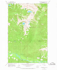
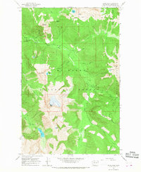
1966 Map of White Chuck Mtn.
USGS Topo · Published 1974About this map
Mt Baker National Forest encompasses this high-elevation landscape in Snohomish County, centered on the confluence of the White Chuck River and the Sauk River. In the mid-1960s, the area served primarily as a recreational and resource-rich corridor, accessed via the Mountain Loop Road. The map reveals a high concentration of alpine water bodies, including White Chuck Lakes, Thornton Lake, and Peek-a-boo Lake, alongside several unnamed quarries and gravel pits that underscore the maintenance of the mountain road system. Significant topographic transitions are marked by Rat Trap Pass and Stujack Pass, which provided critical passage through the steep terrain. This survey provides a precise look at the drainage patterns of numerous creeks like Straight Creek and Dutch Creek, which feed into the main river arteries, and locates established sites such as the White Chuck Campgrounds and a riverside Gaging Station.
Find a feature on this map
31 named features on this map. Tap any name to fly to it.
Don’t see what you’re looking for? This feature index may not catch every label — zoom into the map to look around manually.
Map Details
Editions of this 1966 White Chuck Mtn. Map
3 editions found

Other maps of this area

1899 · Glacier Peak
USGS Topo · 1:125,000

1899 · Stillaguamish
USGS Topo · 1:125,000

1901 · Glacier Peak
USGS Topo · 1:125,000

1901 · Stilaguamish
USGS Topo · 1:125,000

1955 · Concrete
USGS Topo · 1:250,000
1957 · Silverton
USGS Topo · 1:62,500

1958 · Concrete
USGS Topo · 1:250,000

1962 · Concrete
USGS Topo · 1:250,000
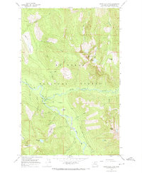
1966 · Huckleberry Mtn
USGS Topo · 1:24,000
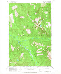
1966 · Sloan Peak
USGS Topo · 1:24,000