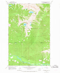
1966 Map of Huckleberry Mtn
USGS Topo · Published 1968About this map
Huckleberry Mountain and the high alpine landscape of the Cascades define this 1960s survey along the border of Skagit and Snohomish counties. The Suiattle River flows through the southern valley, serving as a primary corridor for early forest management and recreation. Evidence of this administrative presence is found at the Suiattle Guard Station, while the Buck Creek Campground and East Side Buck Creek Campground mark the intersection of river access and mountain trails.
Find a feature on this map
36 named features on this map. Tap any name to fly to it.
Don’t see what you’re looking for? This feature index may not catch every label — zoom into the map to look around manually.
Map Details
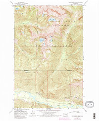
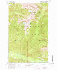
Editions of this 1966 Huckleberry Mtn Map
3 editions found
Other maps of this area

1899 · Glacier Peak
USGS Topo · 1:125,000

1901 · Glacier Peak
USGS Topo · 1:125,000

1950 · Glacier Peak
USGS Topo · 1:62,500

1955 · Concrete
USGS Topo · 1:250,000

1958 · Concrete
USGS Topo · 1:250,000

1962 · Concrete
USGS Topo · 1:250,000

1963 · Sonny Boy Lakes
USGS Topo · 1:24,000
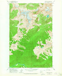
1963 · Downey Mtn
USGS Topo · 1:24,000
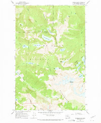
1966 · Snowking Mtn.
USGS Topo · 1:24,000
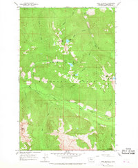
1966 · Pugh Mountain
USGS Topo · 1:24,000