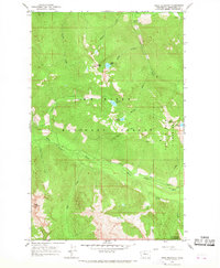
1966 Map of Pugh Mountain
USGS Topo · Published 1968About this map
The White Chuck River carves a deep valley through the heart of the Mt Baker National Forest, as documented in this mid-1960s topographic study. The landscape is defined by its extreme elevations, stretching from the riverbanks up to prominent summits like Pugh Mountain and Circle Peak, both of which are marked with a lookout station at their heights. These high-altitude points served as critical fire observation posts within the timberlands of Snohomish County.
Find a feature on this map
27 named features on this map. Tap any name to fly to it.
Don’t see what you’re looking for? This feature index may not catch every label — zoom into the map to look around manually.
Map Details
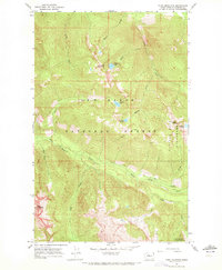
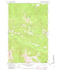
Editions of this 1966 Pugh Mountain Map
3 editions found
Other maps of this area

1899 · Glacier Peak
USGS Topo · 1:125,000

1901 · Glacier Peak
USGS Topo · 1:125,000

1950 · Glacier Peak
USGS Topo · 1:62,500

1955 · Concrete
USGS Topo · 1:250,000

1958 · Concrete
USGS Topo · 1:250,000

1962 · Concrete
USGS Topo · 1:250,000
1963 · Downey Mtn
USGS Topo · 1:24,000
1966 · Huckleberry Mtn
USGS Topo · 1:24,000
1966 · Sloan Peak
USGS Topo · 1:24,000
1966 · Bedal
USGS Topo · 1:24,000