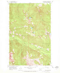
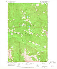
1966 Map of Pugh Mountain
USGS Topo · Published 1972About this map
The hydrological patterns of Indigo Creek and Lime Creek define the drainage of this mountain environment as it was surveyed in the 1960s. These waterways, along with Circle Creek and Harriet Creek, demonstrate a steep, dendritic network characteristic of the Cascade Range. While the region is defined by its dramatic relief and lack of permanent settlements, the naming of these specific drainages reflects early exploration and local geographical identifiers used by foresters and hikers in the mid-20th century. The concentration of these small, high-elevation tributaries provides an essential record of the pristine watershed before modern climate shifts began to significantly alter snowpack and summer streamflow patterns.
Find a feature on this map
4 named features on this map. Tap any name to fly to it.
Don’t see what you’re looking for? This feature index may not catch every label — zoom into the map to look around manually.
Map Details
Editions of this 1966 Pugh Mountain Map
3 editions found
Other maps of this area

1899 · Glacier Peak
USGS Topo · 1:125,000

1901 · Glacier Peak
USGS Topo · 1:125,000

1950 · Glacier Peak
USGS Topo · 1:62,500

1955 · Concrete
USGS Topo · 1:250,000

1958 · Concrete
USGS Topo · 1:250,000

1962 · Concrete
USGS Topo · 1:250,000
1963 · Downey Mtn
USGS Topo · 1:24,000
1966 · Huckleberry Mtn
USGS Topo · 1:24,000
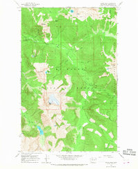
1966 · Sloan Peak
USGS Topo · 1:24,000
1966 · Pugh Mountain
USGS Topo · 1:24,000