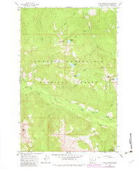
1966 Map of Pugh Mountain
USGS Topo · Published 1983About this map
Pugh Mountain Lookout and Circle Peak Lookout anchor this high-altitude landscape in the mid-1960s, reflecting a peak era of fire detection in the North Cascades. The map details the remote transition from the Mt Baker-Snoqualmie National Forest into the Glacier Peak Wilderness, where human presence is defined by primitive infrastructure. The corridor along the White Chuck River provides the primary access route, leading to several recreation spots such as the Crystal Creek Campground and Owl Creek Campground.
Find a feature on this map
30 named features on this map. Tap any name to fly to it.
Don’t see what you’re looking for? This feature index may not catch every label — zoom into the map to look around manually.
Map Details
Editions of this 1966 Pugh Mountain Map
3 editions found
Other maps of this area

1899 · Glacier Peak
USGS Topo · 1:125,000

1901 · Glacier Peak
USGS Topo · 1:125,000

1950 · Glacier Peak
USGS Topo · 1:62,500

1955 · Concrete
USGS Topo · 1:250,000

1958 · Concrete
USGS Topo · 1:250,000

1962 · Concrete
USGS Topo · 1:250,000
1963 · Downey Mtn
USGS Topo · 1:24,000
1966 · Huckleberry Mtn
USGS Topo · 1:24,000
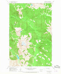
1966 · Sloan Peak
USGS Topo · 1:24,000
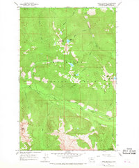
1966 · Pugh Mountain
USGS Topo · 1:24,000