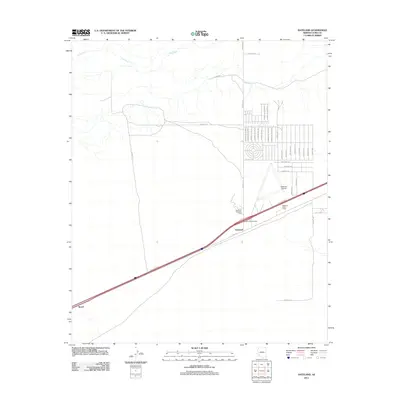
2011 Map of Dateland
USGS Topo · Published 2011About this map
The Gila River meanders across the northern horizon of this 2011 survey, while the southern landscape is defined by the rigid geometry of desert development and transportation infrastructure. This area of Yuma County centers on Dateland, where the Dateland Interchange and Calle Cananea facilitate transit through the arid corridor. The residential grid is marked by Spanish-named thoroughfares such as Camino del Valle and Camino del Estrella, indicating a structured expansion in an otherwise open landscape.
Find a feature on this map
41 named features on this map. Tap any name to fly to it.
Don’t see what you’re looking for? This feature index may not catch every label — zoom into the map to look around manually.
Map Details
Editions of this 2011 Dateland Map
This is the sole edition of this map. No revisions or reprints were ever made.
Other maps of this area
1927 · Aguila Mountains
USGS Topo · 1:48,000
1927 · Kim
USGS Topo · 1:62,500
1929 · Aztec
USGS Topo · 1:62,500
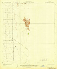
1930 · Aguila Mountains
USGS Topo · 1:62,500
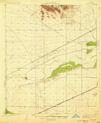
1930 · Stoval
USGS Topo · 1:62,500
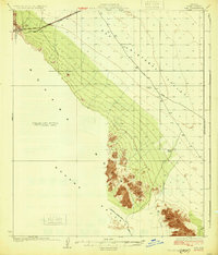
1931 · Kim
USGS Topo · 1:62,500
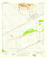
1950 · Stoval
USGS Topo · 1:62,500
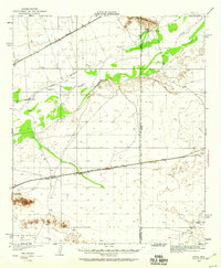
1950 · Aztec
USGS Topo · 1:62,500
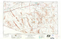
1953 · Ajo
USGS Topo · 1:250,000
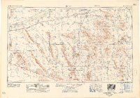
1957 · Ajo
USGS Topo · 1:250,000