2024 Map of Daum
USGS Topo · Published 2024About this map
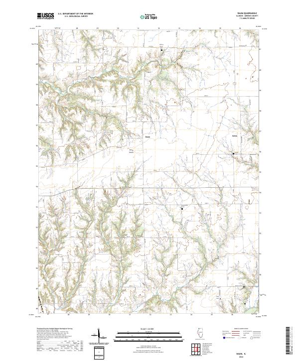
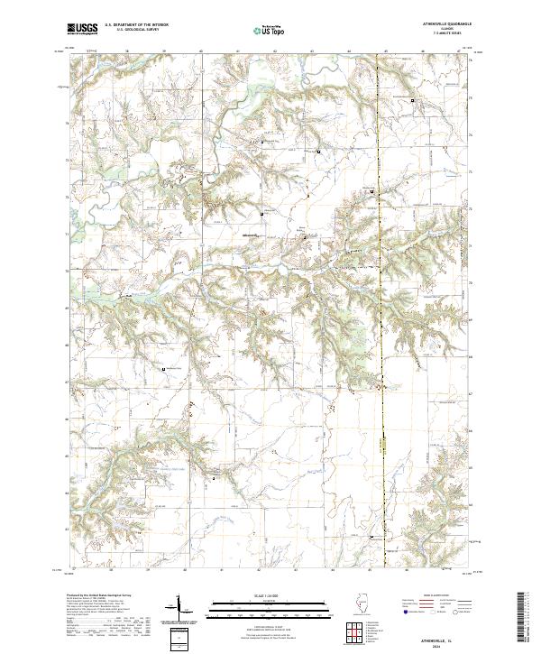
String Prairie defines the central character of this Greene County landscape, where the agricultural grid meets the wooded drainages of the Illinois countryside. The small settlements of Daum and Kahm anchor the northern portion of the map, connected by a network of rural roads such as Daum Rd and Wayham Rd. These small clusters of activity reflect the enduring rural settlement patterns of the region, maintained by the local road system.
Find a feature on this map
22 named features on this map. Tap any name to fly to it.
Don’t see what you’re looking for? This feature index may not catch every label — zoom into the map to look around manually.
Map Details
Editions of this 2024 Daum Map
This is the sole edition of this map. No revisions or reprints were ever made.
Historical Maps of Kahm Through Time
12 maps found
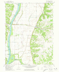
1980 Pearl East
Greene County, IL
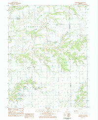
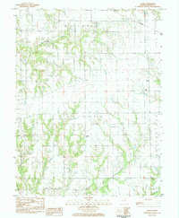
1983 Athensville
Greene County, IL
1983 Boyer Creek
Greene County, IL
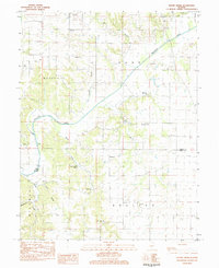
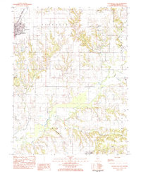
1983 Daum
Greene County, IL
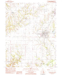
1983 Roodhouse East
Greene County, IL
1983 Roodhouse West
Greene County, IL
2024 Athensville
Greene County, IL
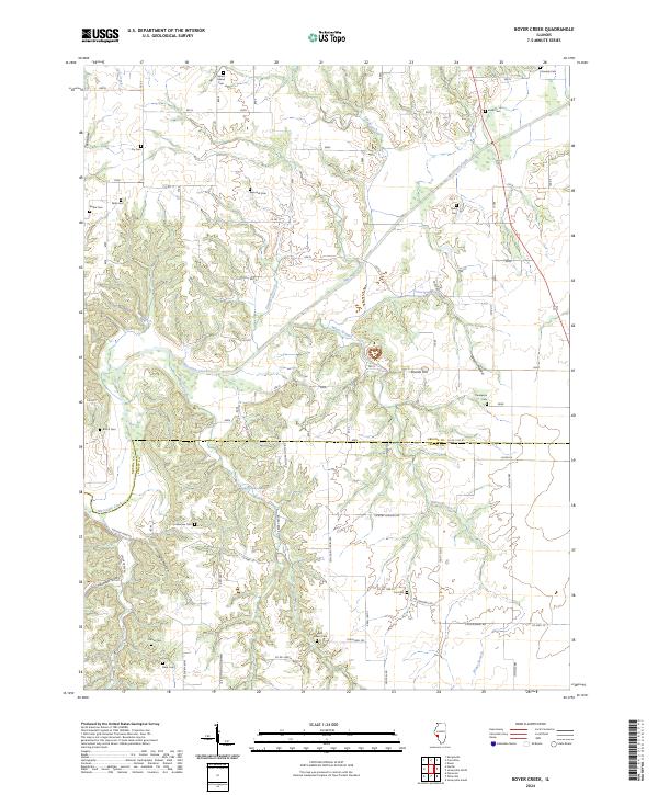
2024 Boyer Creek
Greene County, IL
2024 Daum
Greene County, IL
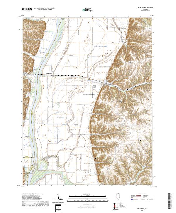
2024 Pearl East
Greene County, IL
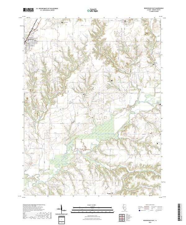
2024 Roodhouse East
Greene County, IL
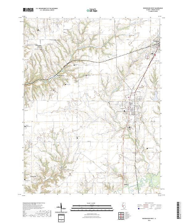
2024 Roodhouse West
Greene County, IL