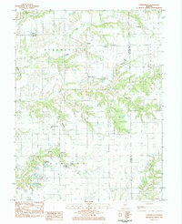
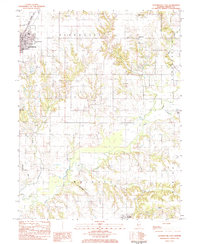
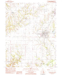
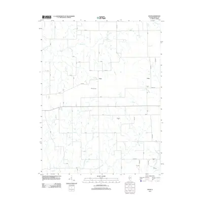
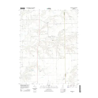
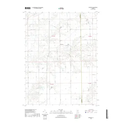
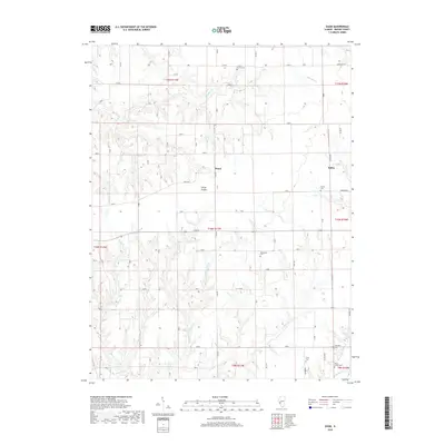
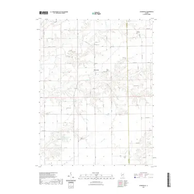
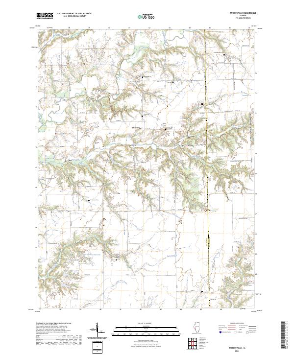
1983 Map of Athensville
USGS Topo · Published 1984About this map
The settlement of Athensville sits at the heart of this rural landscape, positioned where the terrain transitions toward the drainage basins of Apple Creek and Lick Creek. This 1980s survey captures a deeply established agricultural community in western Illinois, marked by an unusually high density of family and community burial grounds. Genealogists will find significant value in the distribution of sites like the Vandaveer-Big Sandy Cem, West Scottville Cem, and the Drake-Million Cem.
Find a feature on this map
26 named features on this map. Tap any name to fly to it.
Don’t see what you’re looking for? This feature index may not catch every label — zoom into the map to look around manually.
Map Details
Editions of this 1983 Athensville Map
This is the sole edition of this map. No revisions or reprints were ever made.
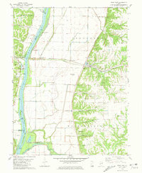
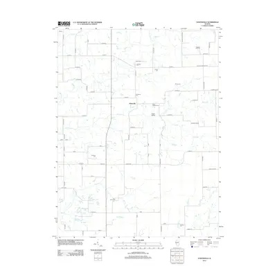
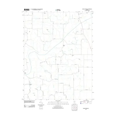
Historical Maps of Athensville Through Time
36 maps found
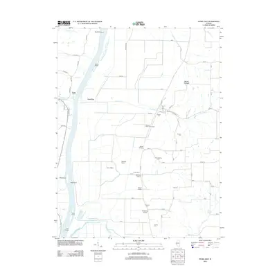
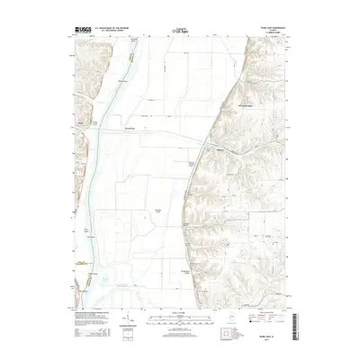
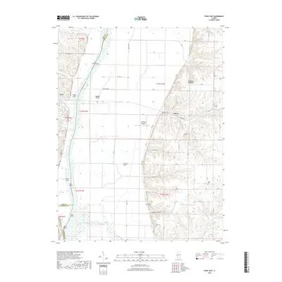
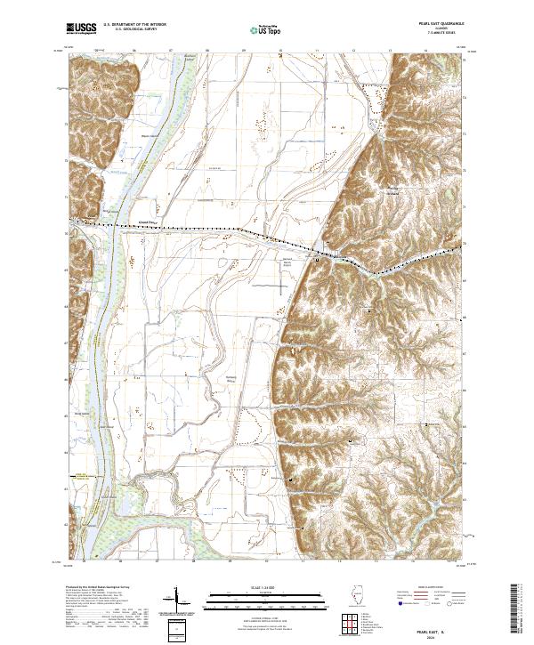
1980 Pearl East
Greene County, IL
1983 Athensville
Greene County, IL
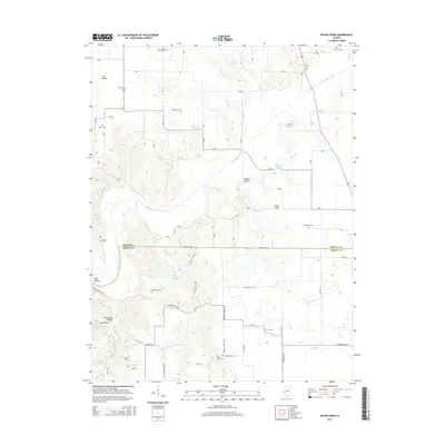
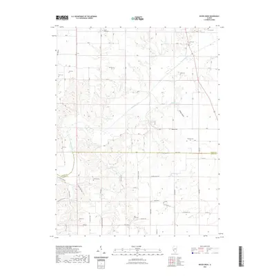
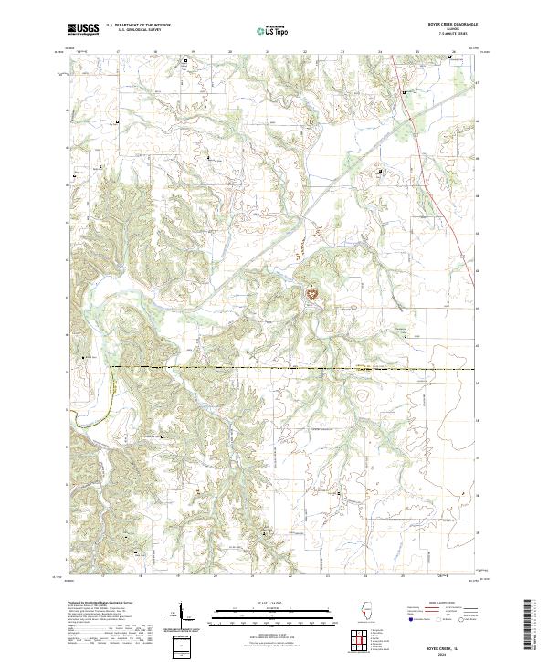
1983 Boyer Creek
Greene County, IL
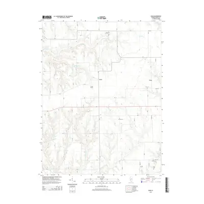
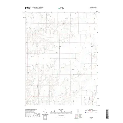
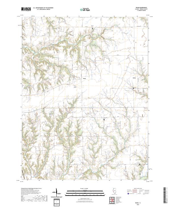
1983 Daum
Greene County, IL
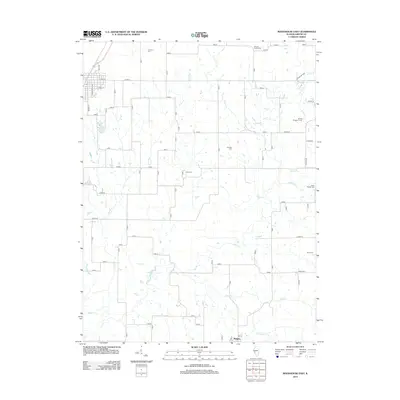
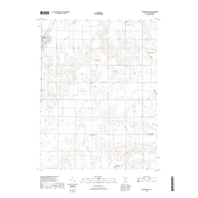
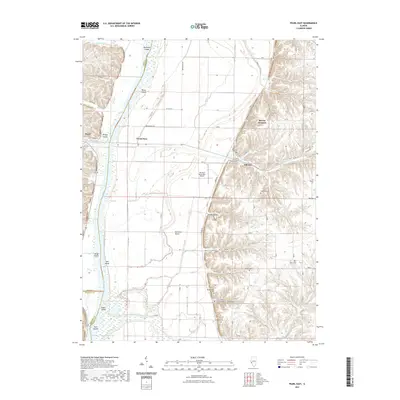
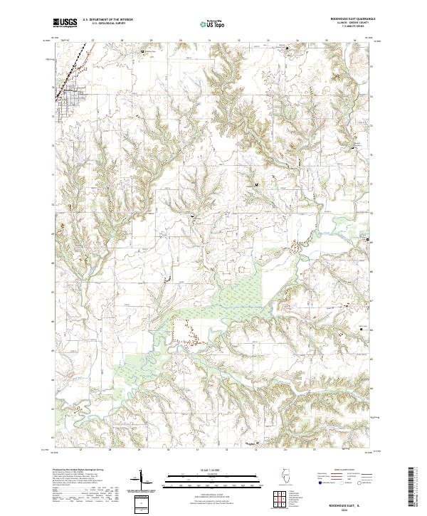
1983 Roodhouse East
Greene County, IL
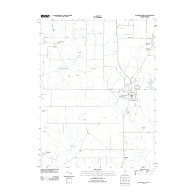
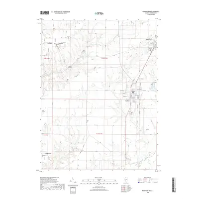
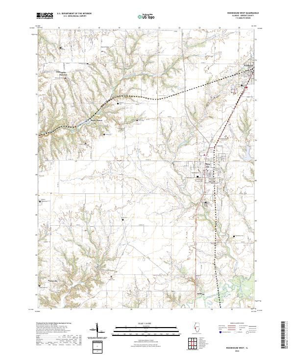
1983 Roodhouse West
Greene County, IL
2012 Athensville
Greene County, IL
2012 Boyer Creek
Greene County, IL
2012 Daum
Greene County, IL
2012 Pearl East
Greene County, IL
2012 Roodhouse East
Greene County, IL
2012 Roodhouse West
Greene County, IL
2015 Athensville
Greene County, IL
2015 Boyer Creek
Greene County, IL
2015 Daum
Greene County, IL
2015 Pearl East
Greene County, IL
2015 Roodhouse East
Greene County, IL
2015 Roodhouse West
Greene County, IL
2018 Athensville
Greene County, IL
2018 Boyer Creek
Greene County, IL
2018 Daum
Greene County, IL
2018 Pearl East
Greene County, IL
2018 Roodhouse East
Greene County, IL
2018 Roodhouse West
Greene County, IL
2021 Athensville
Greene County, IL
2021 Boyer Creek
Greene County, IL
2021 Daum
Greene County, IL
2021 Pearl East
Greene County, IL
2021 Roodhouse East
Greene County, IL
2021 Roodhouse West
Greene County, IL
2024 Athensville
Greene County, IL
2024 Boyer Creek
Greene County, IL
2024 Daum
Greene County, IL
2024 Pearl East
Greene County, IL
2024 Roodhouse East
Greene County, IL
2024 Roodhouse West
Greene County, IL