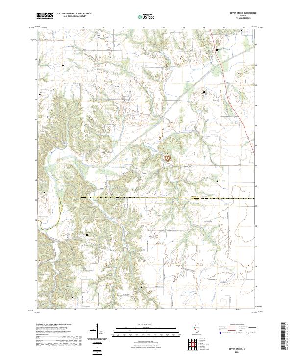
2024 Map of Boyer Creek
USGS Topo · Published 2024About this map
Macoupin Creek meanders through this agricultural landscape on the border of Greene and Jersey Counties, shaping a topography of deep hollows and narrow ridges. The map reveals a dense network of family and community burial sites, including Mount Gilead Cem, Mills Cem, and Reynolds Cem, which are often situated near the drainage divides of Boyer Creek and its tributaries. These cemeteries, along with named roads like Washington School Rd and Bethany Church Rd, point to the dispersed rural settlements and social foundations of the region. The terrain is marked by significant features like Shanks Hill and Tar Hollow, while smaller springs such as John Dunham Spring and Dodson Spring indicate the localized water sources once vital to early upland farming life.
Find a feature on this map
48 named features on this map. Tap any name to fly to it.
Don’t see what you’re looking for? This feature index may not catch every label — zoom into the map to look around manually.
Map Details
Editions of this 2024 Boyer Creek Map
This is the sole edition of this map. No revisions or reprints were ever made.
Other maps of this area

1924 · Roodhouse
USGS Topo · 1:62,500

1926 · Roodhouse
USGS Topo · 1:62,500

1930 · Pearl
USGS Topo · 1:62,500

1930 · Hardin
USGS Topo · 1:62,500

1930 · Jerseyville
USGS Topo · 1:62,500

1933 · Jerseyville
USGS Topo · 1:62,500

1934 · Hardin
USGS Topo · 1:62,500

1938 · Hardin
USGS Topo · 1:62,500

1948 · Quincy
USGS Topo · 1:250,000

1950 · Pearl
USGS Topo · 1:62,500