Loading...
Loading map...2022 Map of Davenport
USGS Topo · Published 2022About this map
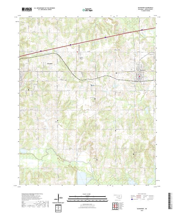
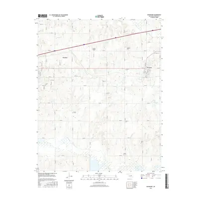
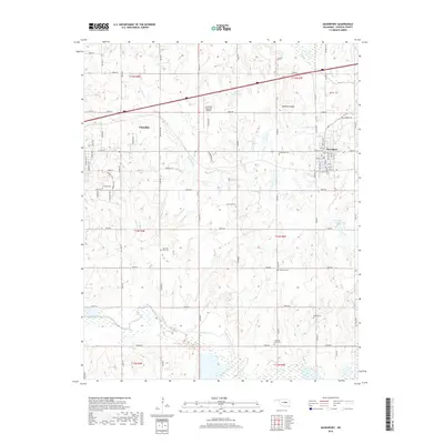
The town of Davenport serves as a central hub on this 2022 survey, illustrating the grid of Lincoln County in central Oklahoma. Several historic burial grounds are scattered throughout the countryside, including Cardwell Cem near Chandler, Dunkard Cem, and the family-linked Booker Cem. These sites, alongside Morning Star Cem and New Zion Cem, provide a significant record of the area's early settlement patterns and genealogical heritage.
Find a feature on this map
79 named features on this map. Tap any name to fly to it.
Don’t see what you’re looking for? This feature index may not catch every label — zoom into the map to look around manually.
Map Details
Date Portrayed2022
Date Published2022
PublisherU.S. Geological Survey
Map TypeTopographic
Scale1:24,000
Physical Dimensions24 x 29 inches
Editions of this 2022 Davenport Map
This is the sole edition of this map. No revisions or reprints were ever made.
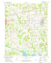
Historical Maps of Chandler Through Time
6 maps found
Featured Locations
Source Details
SourceU.S. Geological Survey
CopyrightPublic Domain