
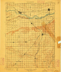
1899 Map of David City
USGS Topo · Published 1899About this map
David City serves as a primary hub in this late nineteenth-century survey, surrounded by a dense network of steam-era railroads that defined the local economy. The landscape is dominated by the broad valley of the Platte River, which is joined by the Loup River near Columbus. This region shows the intricate rail infrastructure of the day, including various branches of the Union Pacific R. R. and the Burlington and Missouri River R. R. which connected burgeoning prairie settlements like Shelby, Rising, and Ulysses. The map provides an look at the Platte's braided channel, noting features like Shinn Id. and several gaging stations used to monitor water levels. Small, now-significant points for genealogists such as Wayland, Millerton, and Garrison are clearly plotted along the various rail lines and tributaries like Oak Creek.
Find a feature on this map
68 named features on this map. Tap any name to fly to it.
Don’t see what you’re looking for? This feature index may not catch every label — zoom into the map to look around manually.
Map Details
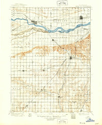
Editions of this 1899 David City Map
3 editions found
Other maps of this area

1896 · Stromsburg
USGS Topo · 1:125,000

1897 · Lincoln
USGS Topo · 1:125,000

1898 · York
USGS Topo · 1:125,000

1899 · Wahoo
USGS Topo · 1:125,000

1899 · York
USGS Topo · 1:125,000

1934 · Seward
USGS Topo · 1:48,000

1934 · Utica
USGS Topo · 1:62,500

1937 · Utica
USGS Topo · 1:62,500

1939 · Seward
USGS Topo · 1:62,500

1955 · Fremont
USGS Topo · 1:250,000