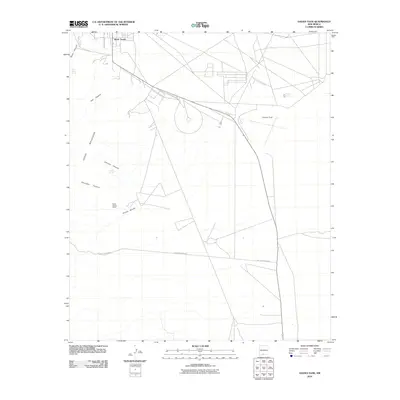
2010 Map of Davies Tank
USGS Topo · Published 2010About this map
The eastern foothills of the Organ Mountains meet the desert floor in this 2010 survey of the area near White Sands. The landscape is defined by a network of drainage systems cutting through the high ground, including Ash Canyon, Johnson Canyon, and Glendale Canyon, which all feed toward the Arroyo Salado to the south. Human presence in this arid environment is concentrated around water sources and transportation corridors, marked by the Globe Spring Ranch and several strategic tanks and springs like Davies Tank and Texas Canyon Spring.
Find a feature on this map
13 named features on this map. Tap any name to fly to it.
Don’t see what you’re looking for? This feature index may not catch every label — zoom into the map to look around manually.
Map Details
Editions of this 2010 Davies Tank Map
This is the sole edition of this map. No revisions or reprints were ever made.
Other maps of this area

1891 · Las Cruces
USGS Topo · 1:125,000

1893 · Las Cruces
USGS Topo · 1:125,000

1940 · Newman
USGS Topo · 1:62,500

1941 · Organ Peak
USGS Topo · 1:62,500

1943 · La Mesa
USGS Topo · 1:62,500

1943 · Parker Lake
USGS Topo · 1:62,500

1943 · Newman
USGS Topo · 1:62,500

1943 · Organ Peak
USGS Topo · 1:62,500

1948 · Davies Tank
USGS Topo · 1:24,000

1948 · Newman NW
USGS Topo · 1:24,000