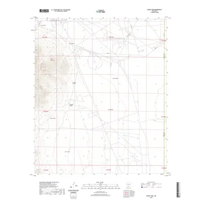
2020 Map of Davies Tank
USGS Topo · Published 2020About this map
The Organ Mountains dominate the western horizon of this White Sands landscape, where the high desert terrain transitions into a complex system of drainages and canyons. The topographical relief is marked by significant erosion patterns, with named features such as Ash Canyon, Johnson Canyon, and Glendale Canyon carving through the mountain slopes toward the flatter plains to the east. Water management in this arid environment is evidenced by historical catchments and natural sources, including Davies Tank and Goodin Tank, alongside high-elevation outlets like Texas Canyon Spring and Globe Spring.
Find a feature on this map
29 named features on this map. Tap any name to fly to it.
Don’t see what you’re looking for? This feature index may not catch every label — zoom into the map to look around manually.
Map Details
Editions of this 2020 Davies Tank Map
This is the sole edition of this map. No revisions or reprints were ever made.
Other maps of this area

1891 · Las Cruces
USGS Topo · 1:125,000

1893 · Las Cruces
USGS Topo · 1:125,000

1940 · Newman
USGS Topo · 1:62,500

1941 · Organ Peak
USGS Topo · 1:62,500

1943 · La Mesa
USGS Topo · 1:62,500

1943 · Parker Lake
USGS Topo · 1:62,500

1943 · Newman
USGS Topo · 1:62,500

1943 · Organ Peak
USGS Topo · 1:62,500

1948 · Davies Tank
USGS Topo · 1:24,000

1948 · Newman NW
USGS Topo · 1:24,000